1317 S Baker, Santa Ana, CA 92707
- 3 beds
- 1 bath
- 1,034 sq ft
- 7,240 sq ft lot
- Built 1950
$3,700/month
The home
About 1317 S Baker
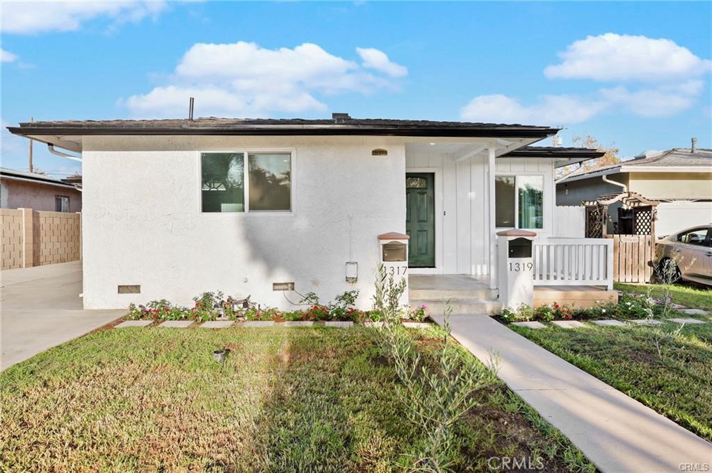
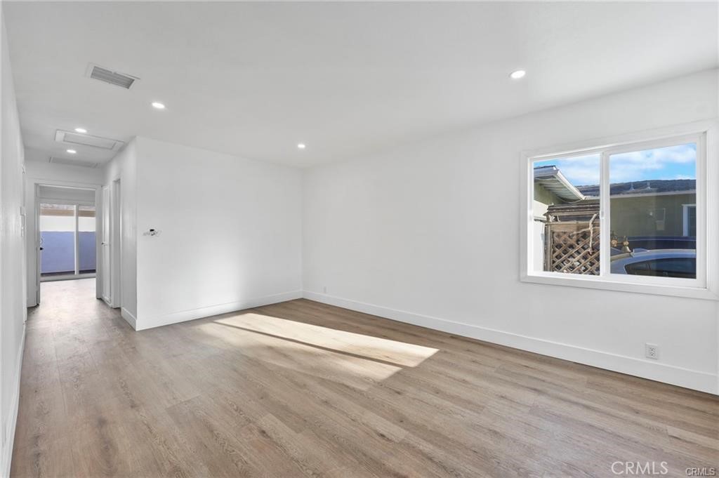
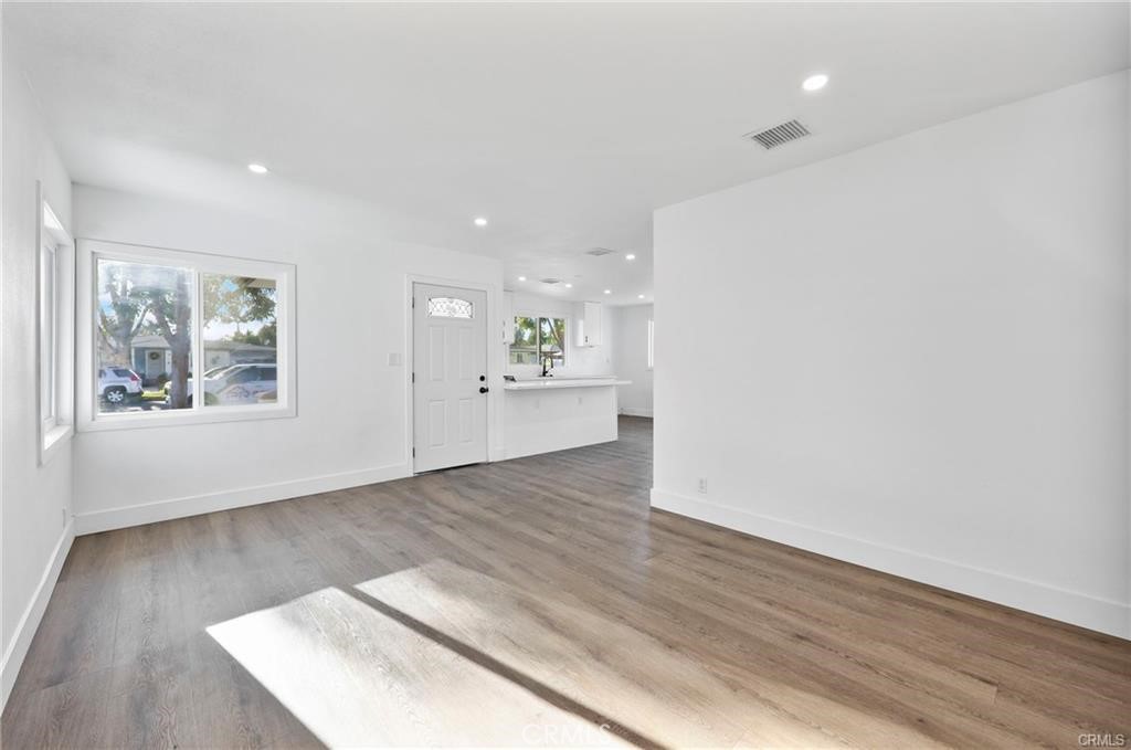
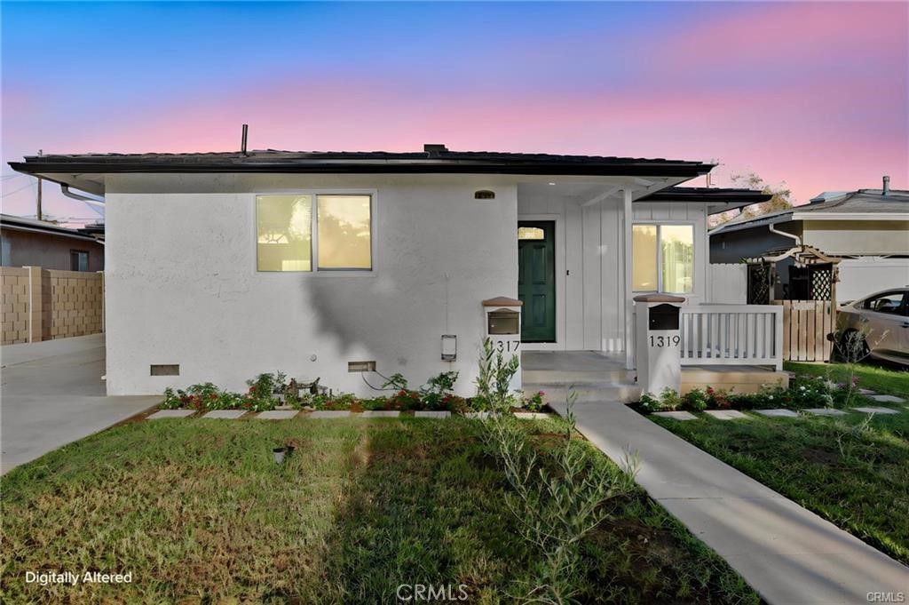
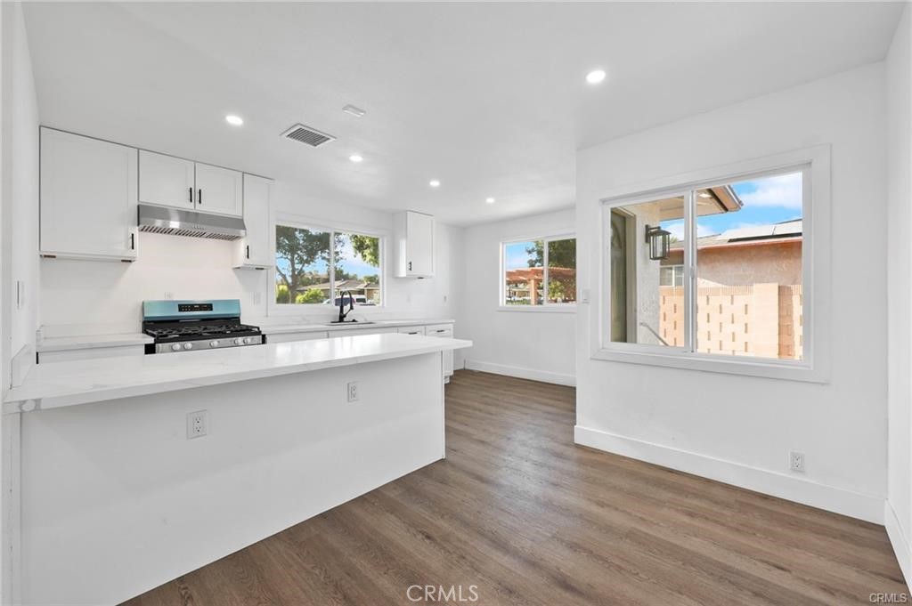
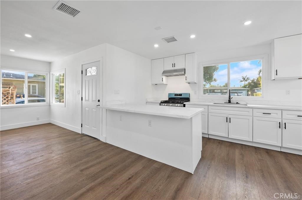
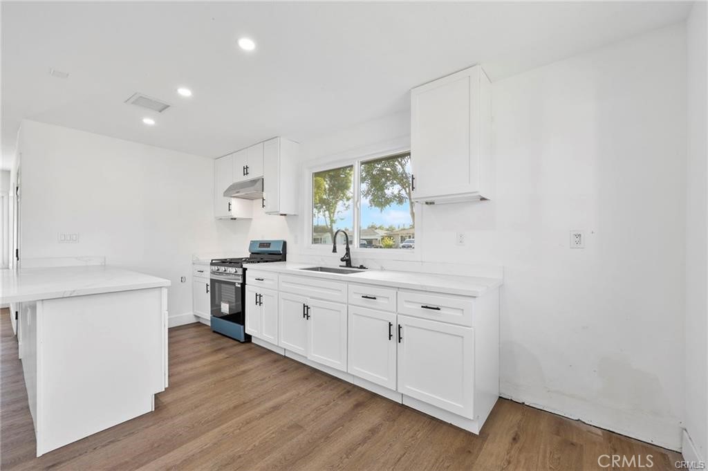
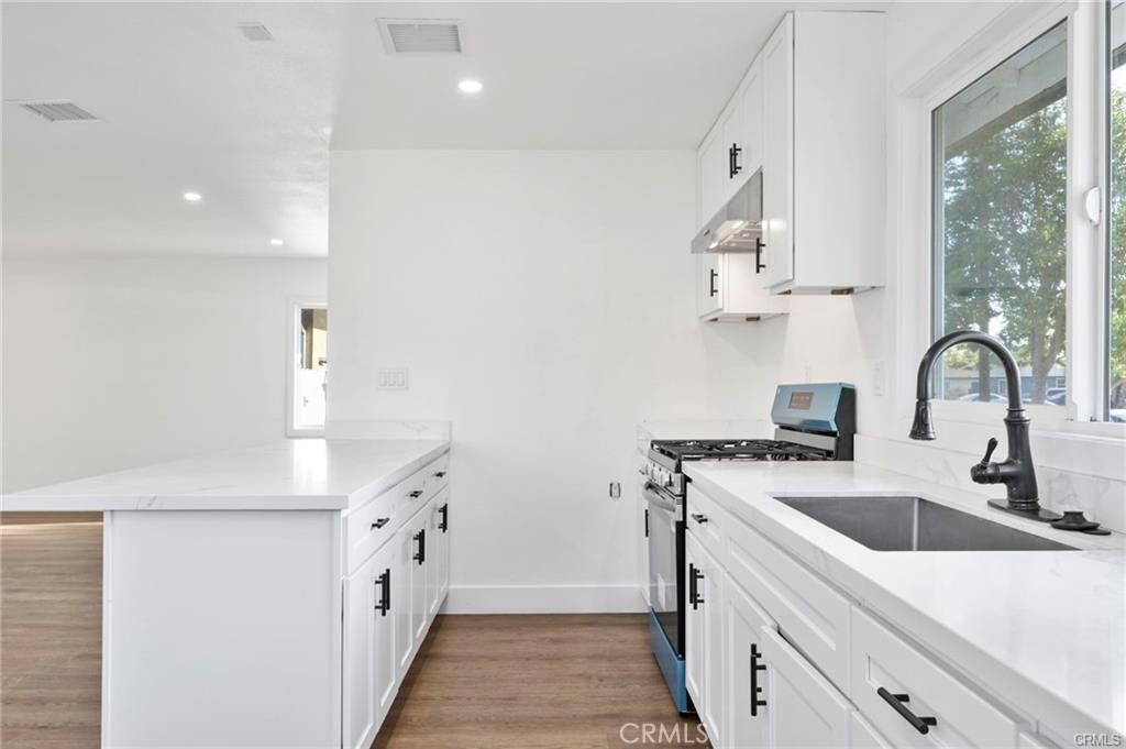
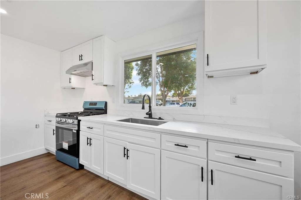
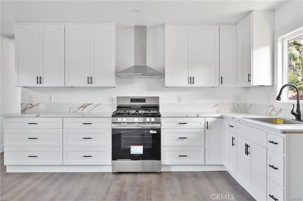
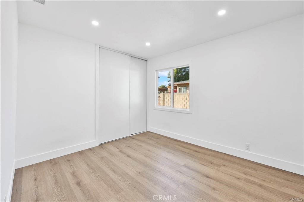
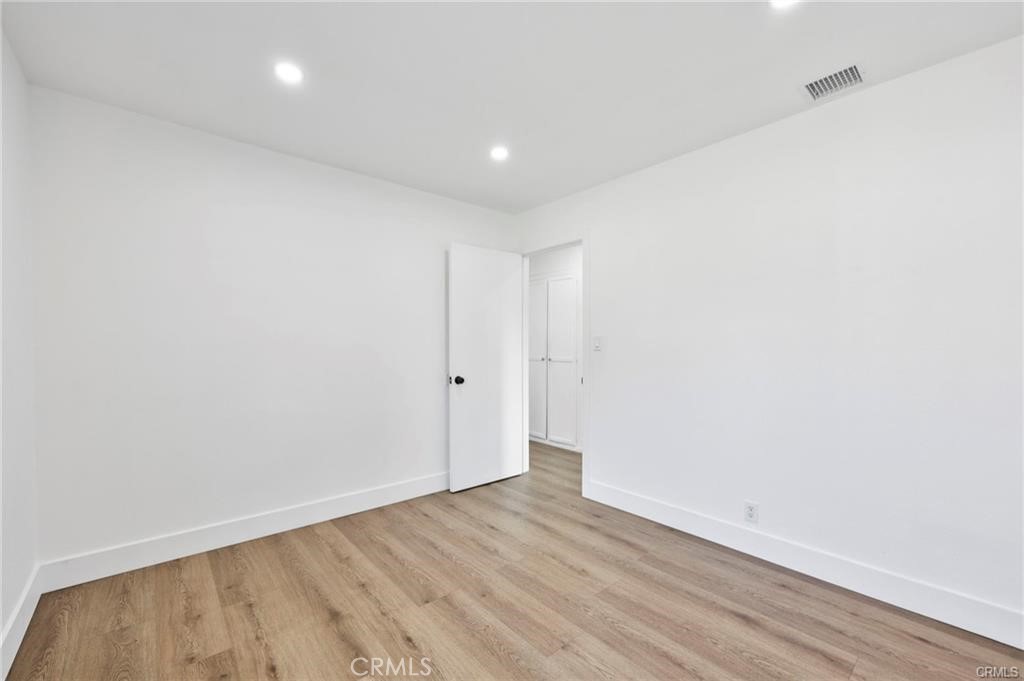
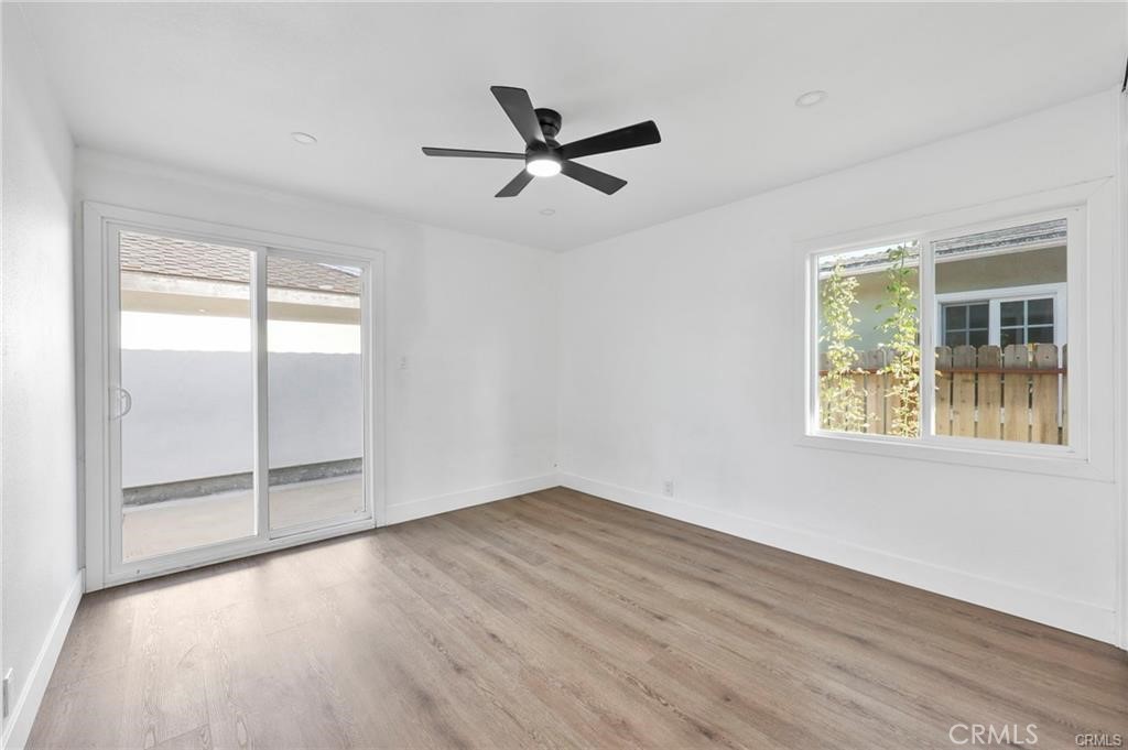
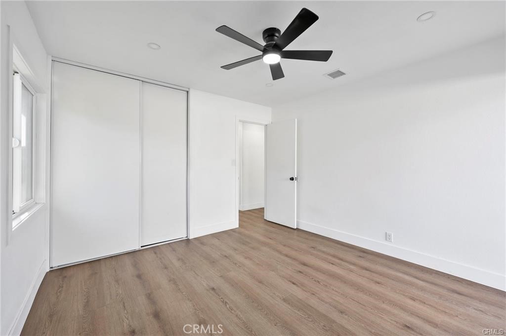
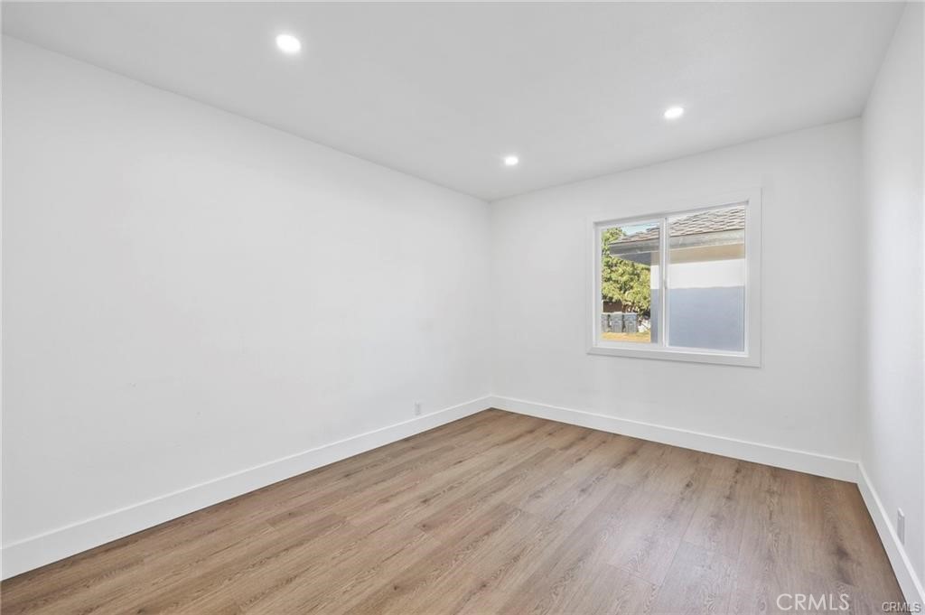
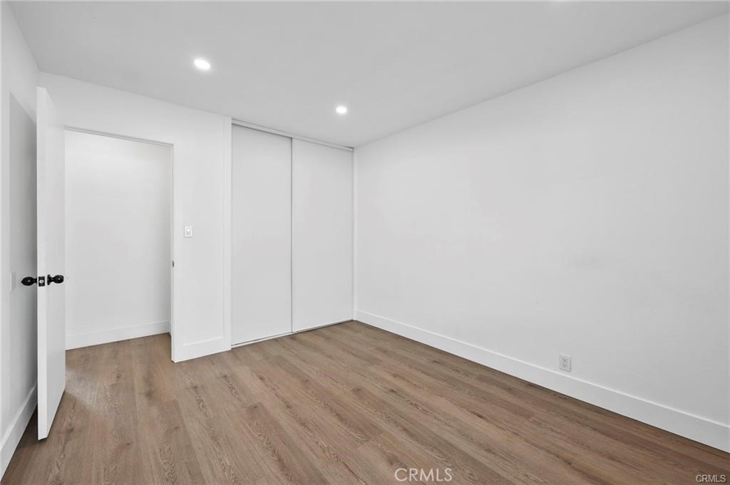
AVAILABLE NOW!!! This 3-BED / 1-BATH SINGLE-LEVEL HOME has recently been upgraded, boasting new touches throughout. This cozy home features new floors, a remodeled bathroom, and as a spacious kitchen completed with a large island / breakfast bar, and new appliances! Call for your private tour today!
Property details for 1317 S Baker
This 3-bedroom, 1-bath single-family home sits in Santa Ana in Orange County. It has 1,034 square feet of living space on a 7,240-square-foot lot and is available for lease at $3,700 a month. The home was built in 1950. The MLS record lists the assessor parcel number as 013-032-05. Highlights include single-story living and central air.
Photographs
Photos of 1317 S Baker, Santa Ana
Specifications
Home Details
General Features
- Property Type
- Single Family Residence
- MLS Number
- PW26236919
- Year Built
- 1950
- Living Area (sq ft)
- 1,034
- Living Area Source
- Assessor
- Lot Size (sq ft)
- 7,240
- Lot Size (acres)
- 0.1662
- Levels
- One
- Bedrooms
- 3
- Full Baths
- 1
- View
- Neighborhood
- Parcel Number
- 01303205
- On Market Date
- 2026-11-05
Interior Features
- Interior Features
- Breakfast Bar, Breakfast Area
- Cooling
- Central Air
- Fireplace
- None
- Laundry
- None
- Main Level Bedrooms
- 3
- Main Level Bathrooms
- 1
- Entry Level
- 1
- Common Walls
- No Common Walls
- Furnished
- Unfurnished
- Rooms
- Kitchen, Family Room
Exterior Features
- Lot Features
- Two To Five Units Acre
- Parking
- On Street
- Pool Features
- None
- Sewer
- Public Sewer
- Water
- Public
- Units
- 1
Community Features
- Community Features
- Street Lights, Sidewalks
The record
Property History for 1317 S Baker
| Date | Event | Price | Note |
|---|---|---|---|
| Oct 22, 2026 | Sold | $1,150,000 | eXp Realty of Southern Ca, Inc |
| Jul 30, 2025 | Sold | $775,000 | Nation One Realty Group Corp |
Added by Realatrends Real Estate
Flood, Fire and Earthquake Zones for 1317 S Baker
We looked up this home's map point in public government maps. These facts are not part of the MLS listing.
Hazard zones
- Flood zone
Zone X, 0.2 percent annual chance flood hazard. Outside FEMA's Special Flood Hazard Area.
FEMA National Flood Hazard Layer, FIRM panel 06059C0257J effective December 3, 2009. Checked October 15, 2026.
- Fire hazard severity zone
Not in a fire hazard severity zone on the State Fire Marshal's map.
CAL FIRE, State Fire Marshal map for Local Responsibility Areas, March 24, 2025. Checked October 15, 2026.
- Earthquake fault zone
Outside the Alquist-Priolo Earthquake Fault Zones.
California Geological Survey, Earthquake Fault Zones map, Newport Beach quadrangle, released July 1, 1986. Checked October 15, 2026.
- Liquefaction zone
Inside a Seismic Hazard Zone for liquefaction.
California Geological Survey, Seismic Hazard Zones map, Newport Beach quadrangle, released April 15, 1998. Checked October 15, 2026.
- Landslide zone
Outside the earthquake-induced landslide zones.
California Geological Survey, Seismic Hazard Zones map, Newport Beach quadrangle, released April 15, 1998. Checked October 15, 2026.
Internet and charging
- Fixed internet
Fiber: AT&T, up to 5,000 Mbps, at 24 of 24 residential locations in this census block. Cable: Spectrum, up to 1,000 Mbps, at 24 of 24. DSL: AT&T, up to 100 Mbps, at 2 of 24.
FCC National Broadband Map, provider-reported data as of December 31, 2025, for census block 060590747021004, not for this address. Not endorsed by the FCC. Checked October 15, 2026.
- EV charging
Nearest public charger 1.2 miles away (ChargePoint, 2 Level 2 ports). 591 public charging ports within 3 miles.
U.S. Department of Energy, Alternative Fuels Data Center. Straight-line distance. Checked October 15, 2026.
These facts are for the listing's map point, which can sit off the lot. A zone line can also cross a lot, and agencies revise their maps. In cities, the fire zone line follows the State Fire Marshal's 2025 map; each city adopts its own map and may add areas. These lines are not a Natural Hazard Disclosure. Check the official maps before you rely on them. Sources for the earthquake zone lines: Reproduced with permission, California Geological Survey, Webservice of Official Maps of Alquist-Priolo Earthquake Fault Zones (2025). Reproduced with permission, California Geological Survey, Webservice of Official Maps of Seismic Hazard Zones (2025).
Official maps
Next steps
Renting 1317 S Baker
Want to see 1317 S Baker in person? We have guided renters through the Santa Ana market since 1983. Call to arrange a private tour, or send a note and we'll follow up.
Schools
School District for 1317 S Baker
As listed in the MLS record. Confirm attendance boundaries with the school district.
The MLS record lists the school district as Santa Ana Unified.
Location
Location
Nearby listings
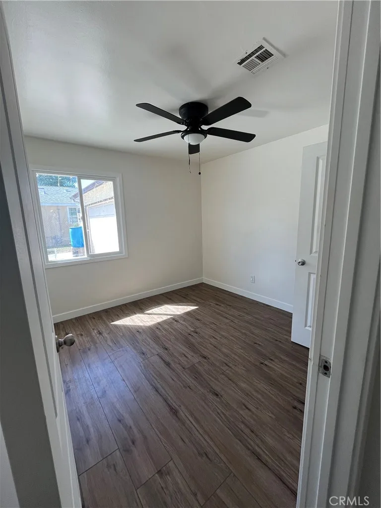
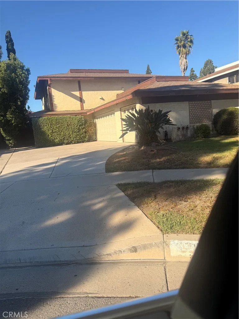
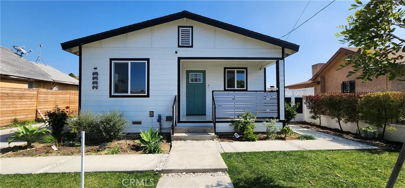
Similar Homes for Lease in Santa Ana
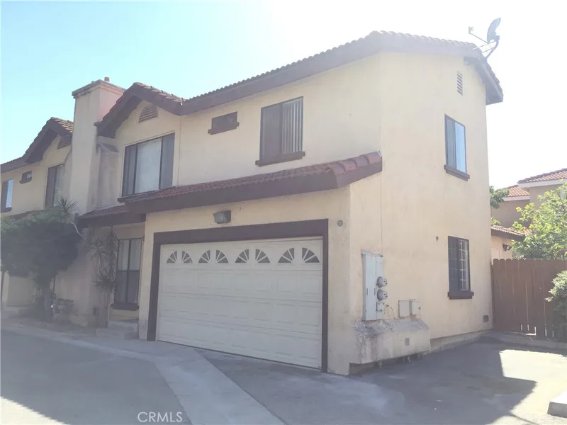
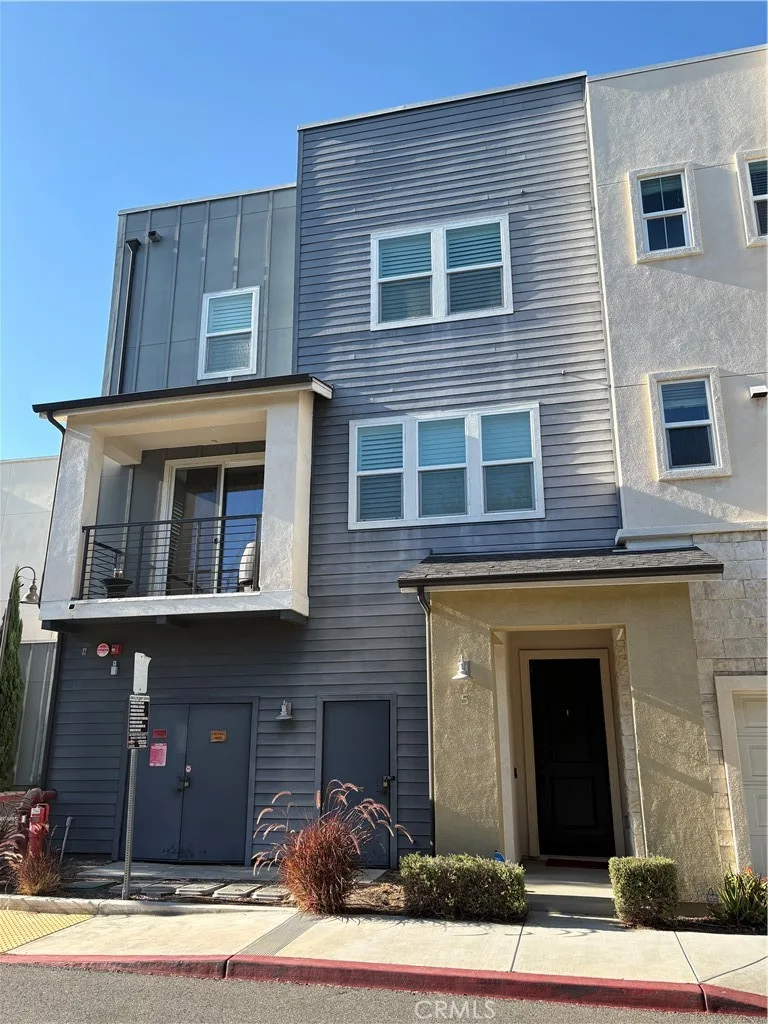
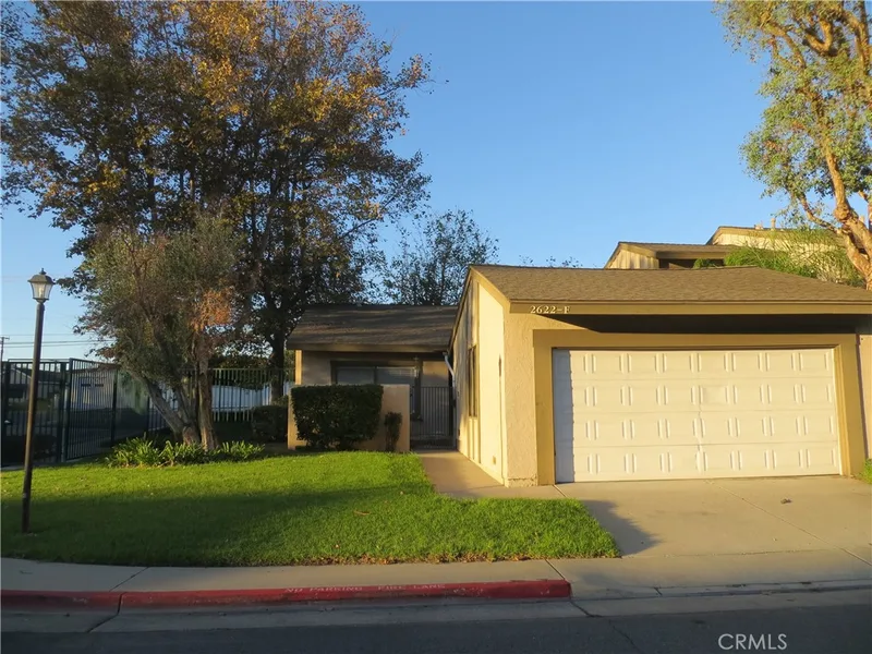
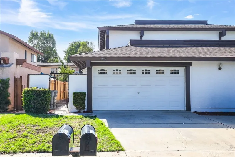
Nearby leases
Recently Leased Near 1317 S Baker
Just listed
Newest Santa Ana Rentals
Explore
Explore Santa Ana Real Estate
Explore Santa Ana real estate, or search the full Orange County MLS on our live homes search. Questions about 1317 S Baker? Talk to Realatrends.
- Santa Ana Homes for Rent
- Santa Ana 92707 Homes for Rent
- Santa Ana Houses for Rent
- Orange County Homes for Rent
- Santa Ana Rental Market
Explore Orange County
Browse Homes by City
Listing alerts
Be first to see new Orange County listings
What criteria are you looking for?
New Orange County homes by email, often before they reach the big portals.
You are all set.
Listed by Madison Aust of John Aust, Broker
Listing information updated Nov 5, 2026 at 11:52 AM PT. Source: CRMLS.
 This information is for your personal, non-commercial use and may not be used for any purpose other than to identify prospective properties you may be interested in purchasing. The display of MLS data is usually deemed reliable but is NOT guaranteed accurate by the MLS. Buyers are responsible for verifying the accuracy of all information and should investigate the data themselves or retain appropriate professionals. Information from sources other than the Listing Agent may have been included in the MLS data. Unless otherwise specified in writing, the Broker/Agent has not and will not verify any information obtained from other sources. The Broker/Agent providing the information contained herein may or may not have been the Listing and/or Selling Agent.