3,380Bldg Sq Ft1.16Acre Lot
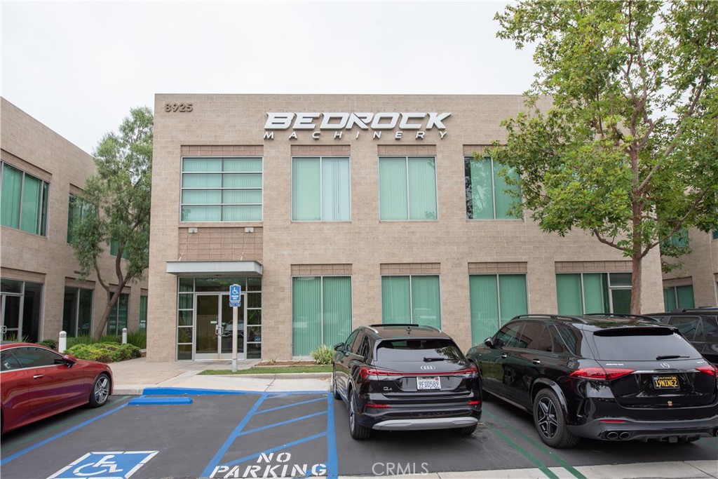
8925 Research Drive, Irvine, CA 92618
- 5,000 sq ft lot
Lease rate on request
The property
About 8925 Research Drive
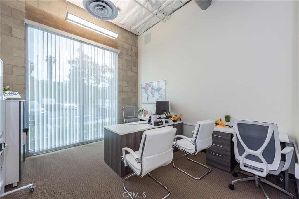
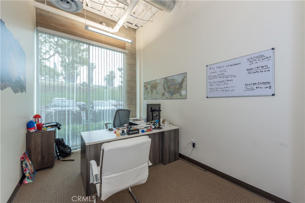
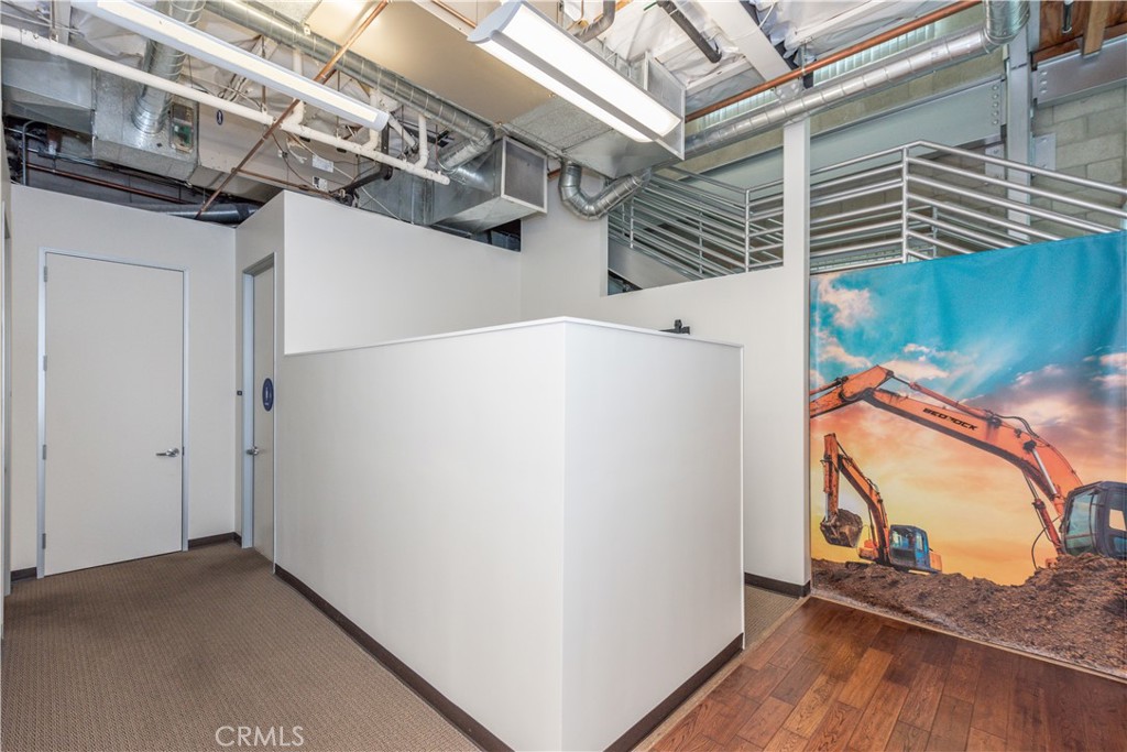
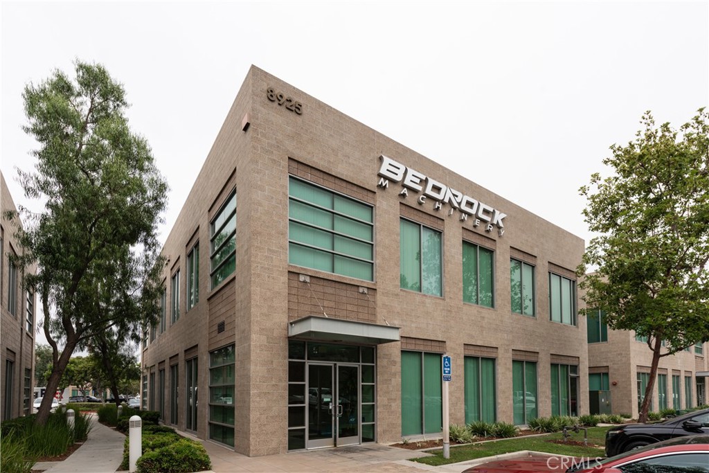
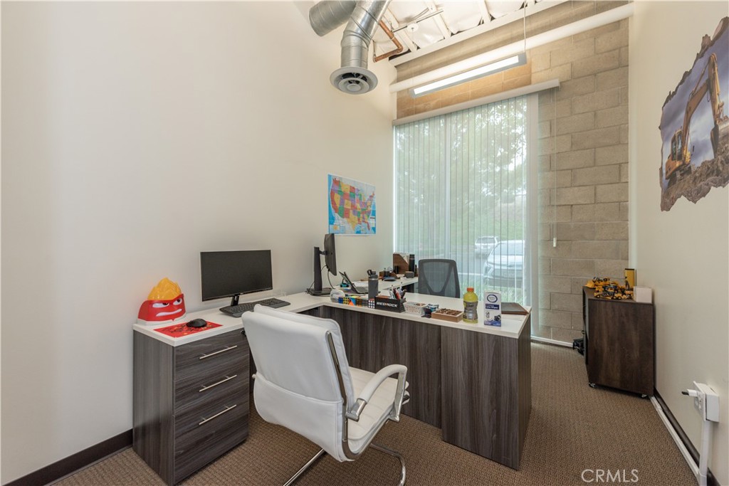
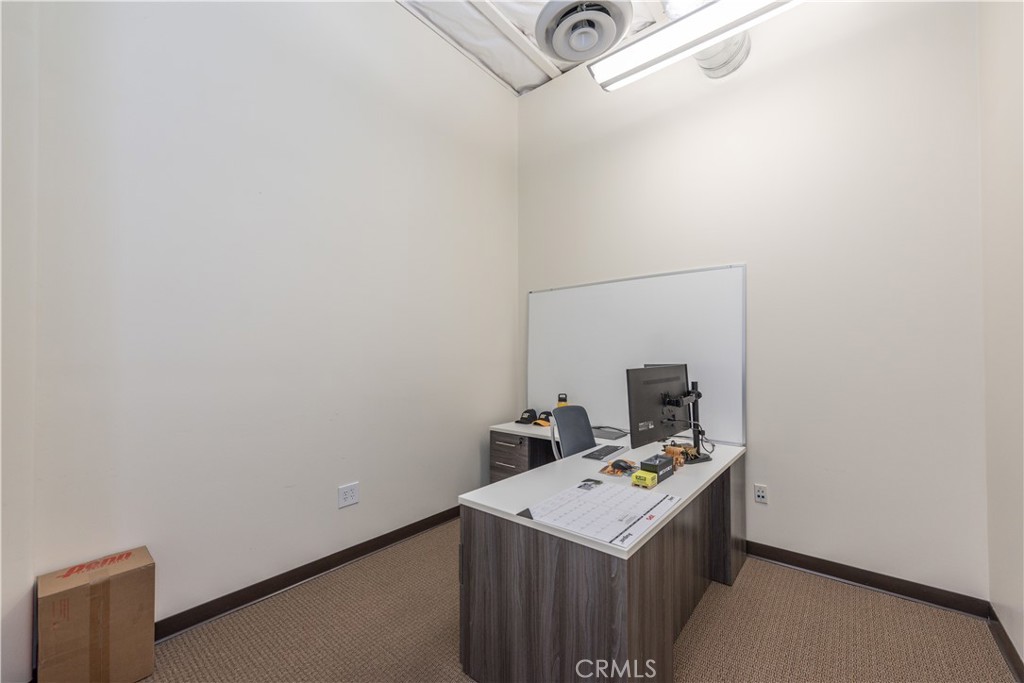
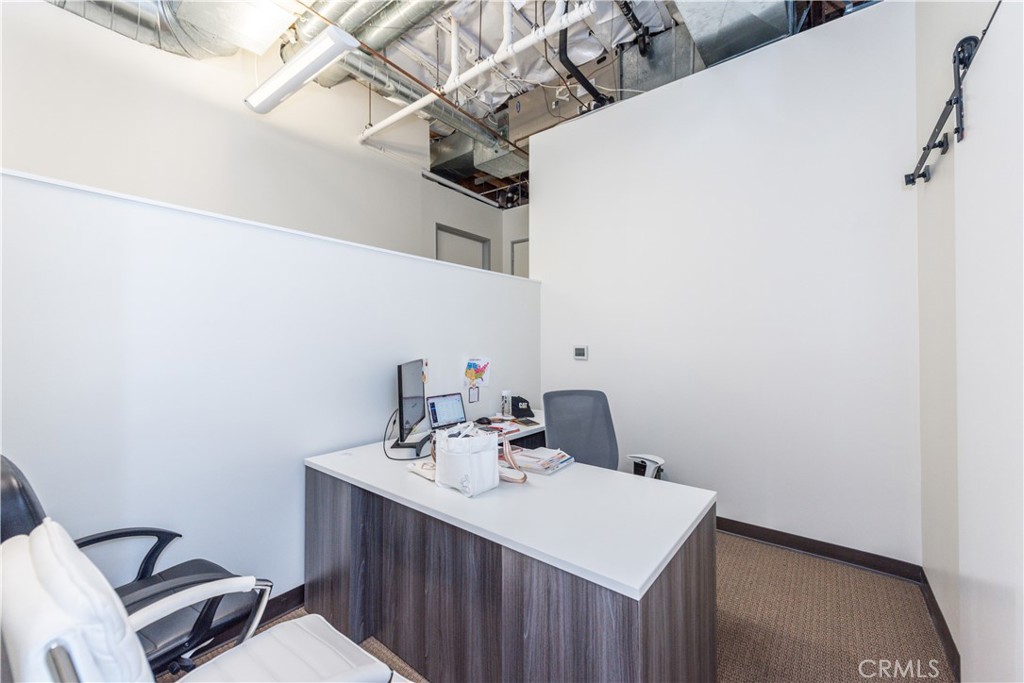
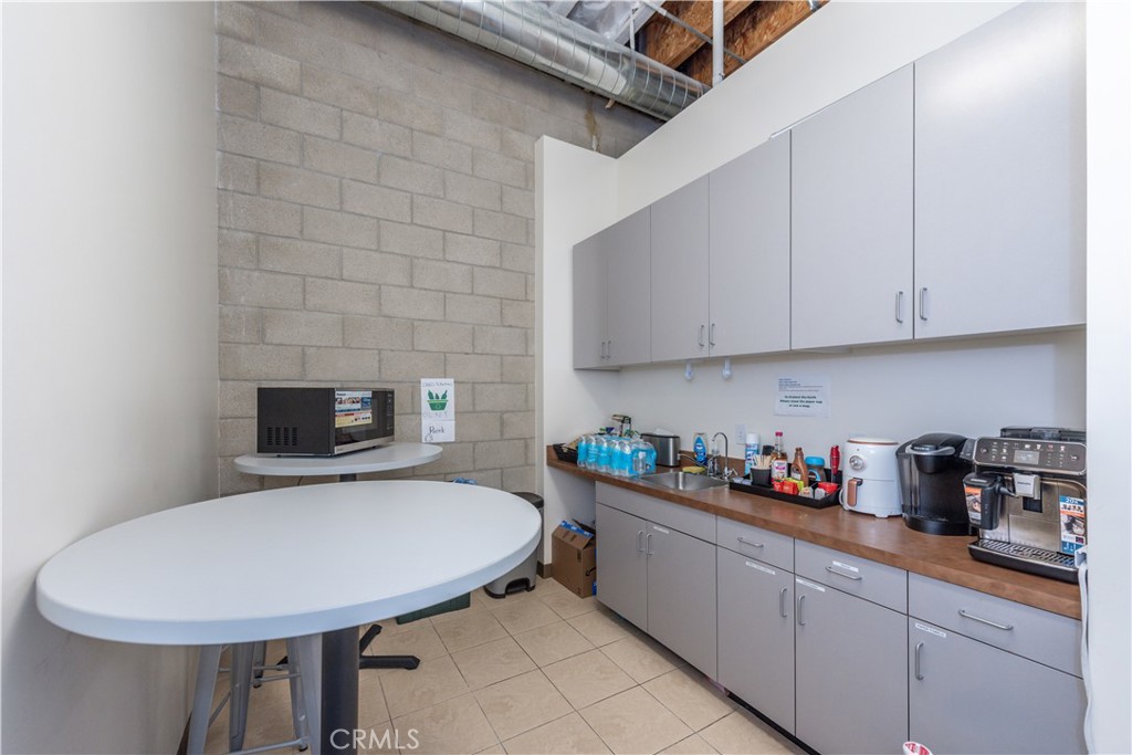
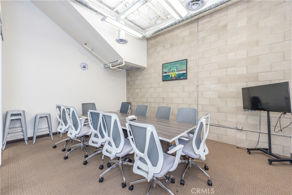
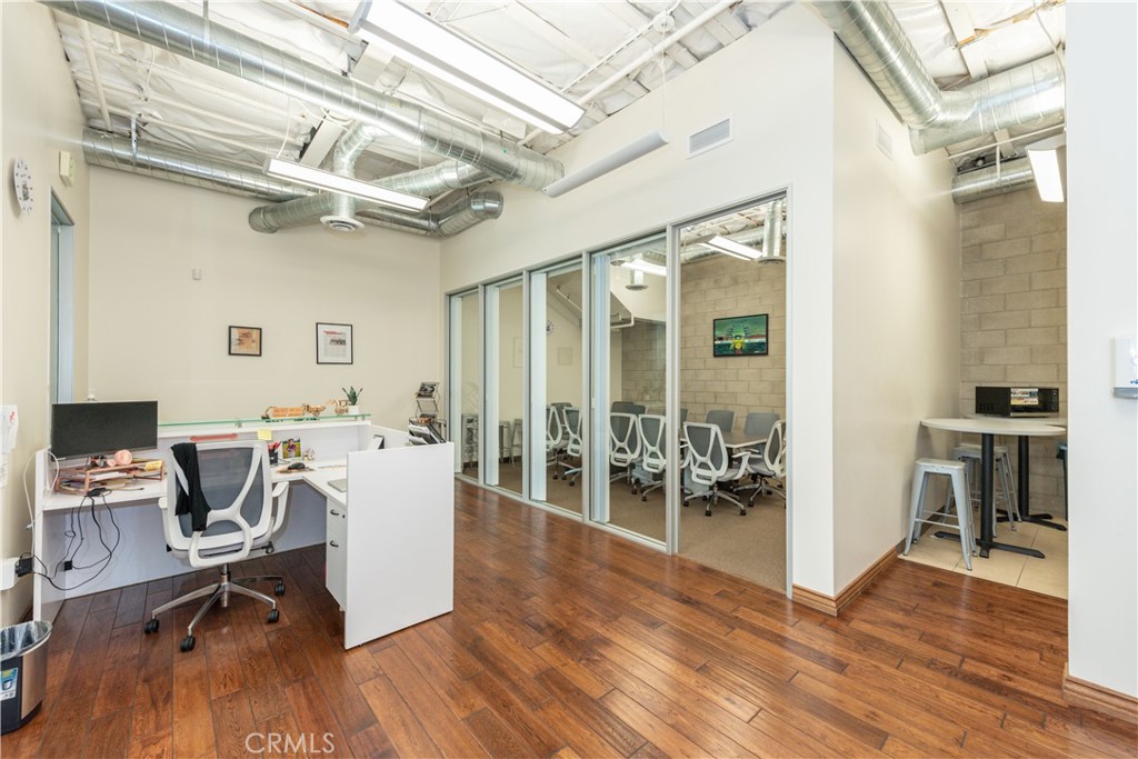
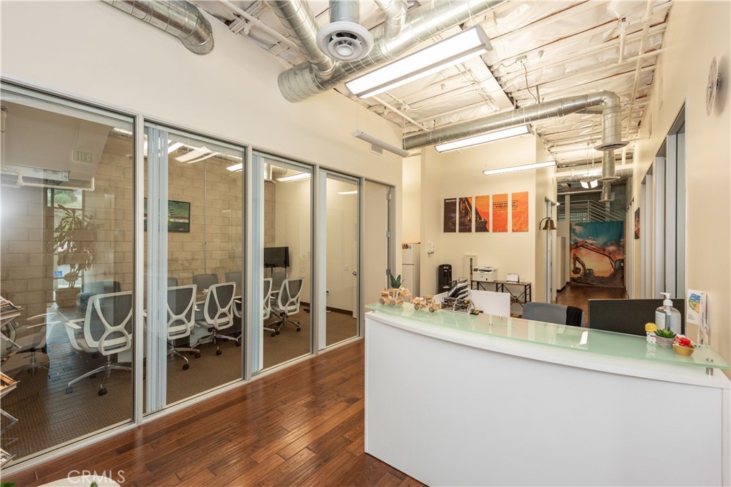
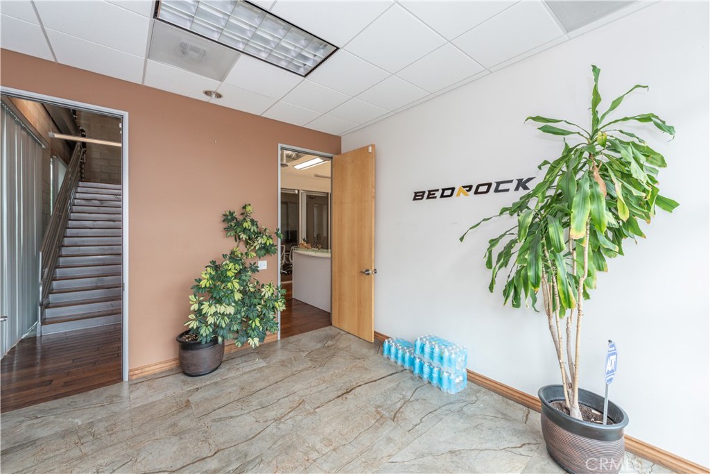
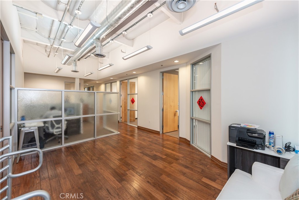
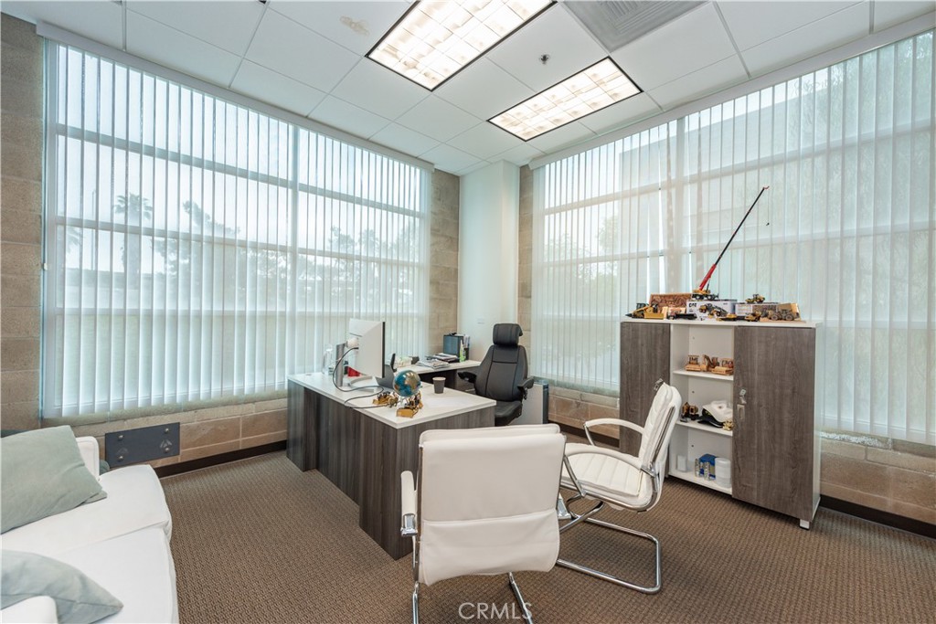
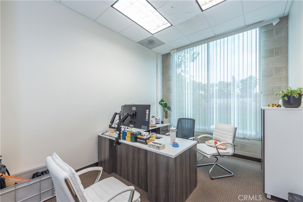
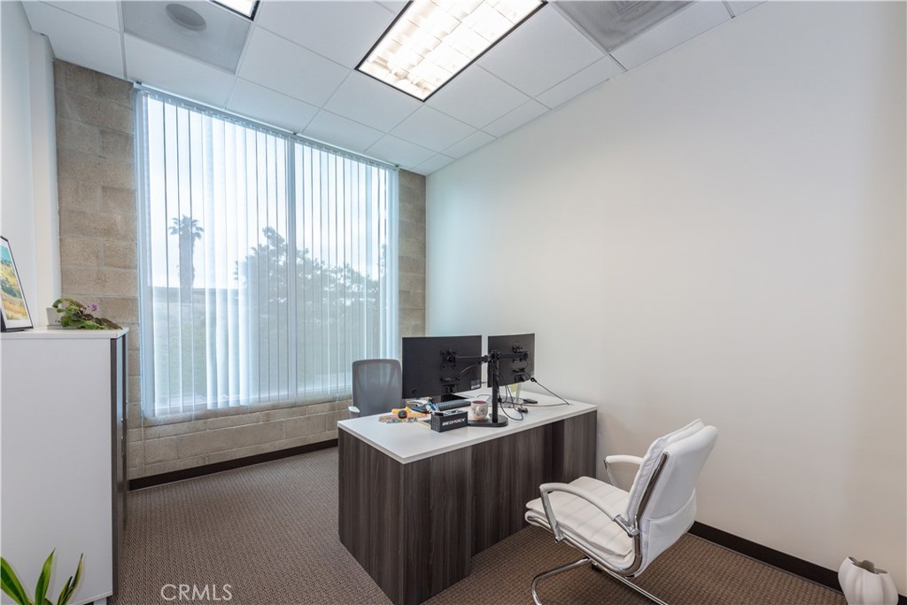
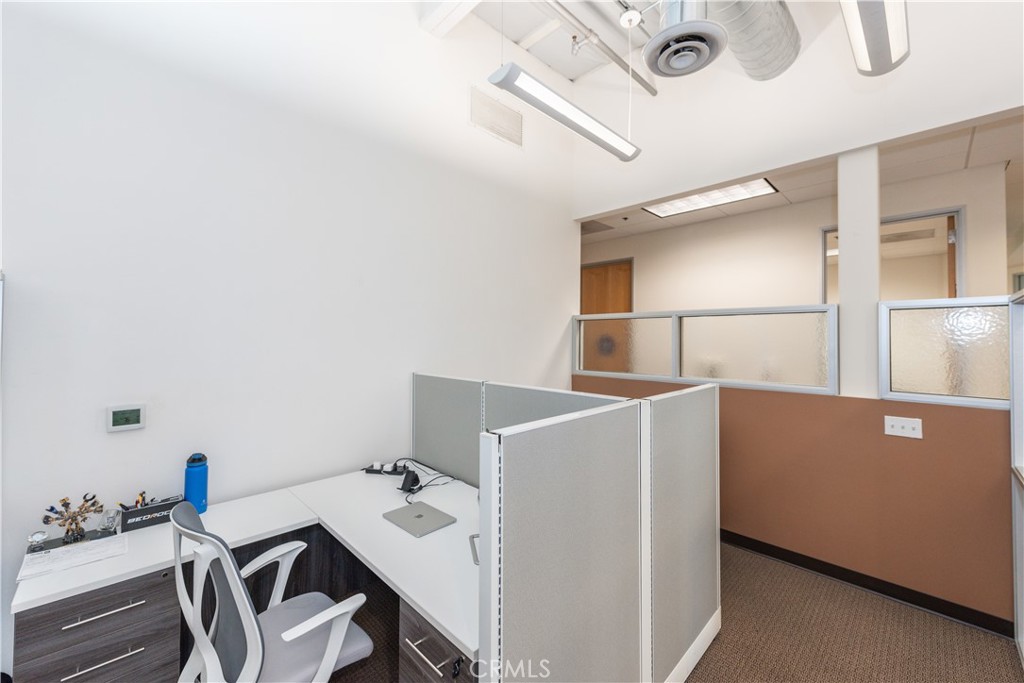
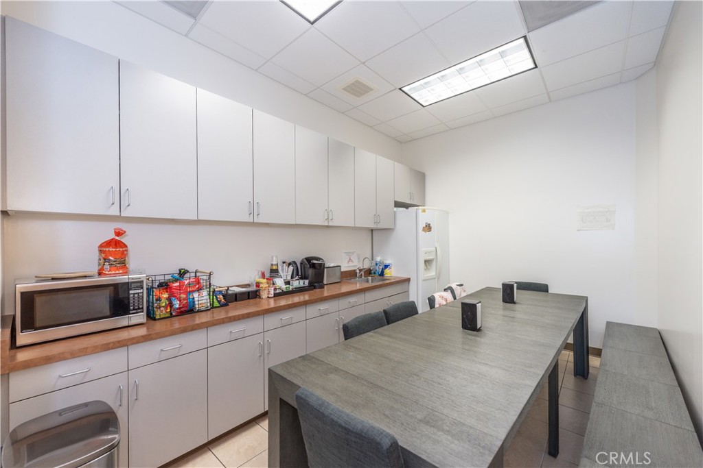
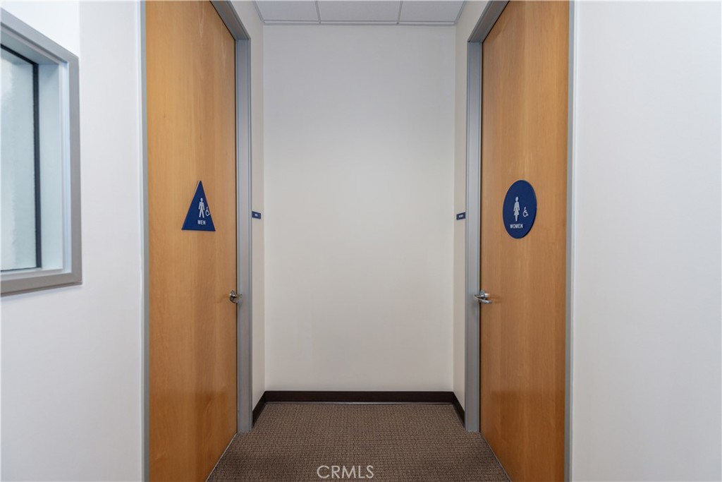
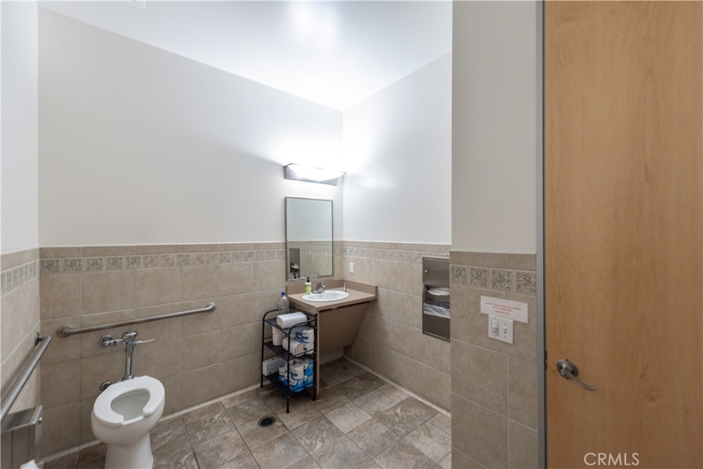
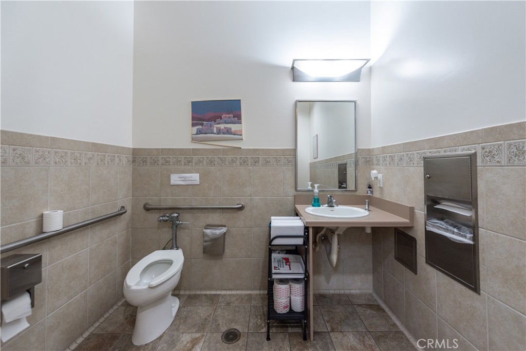
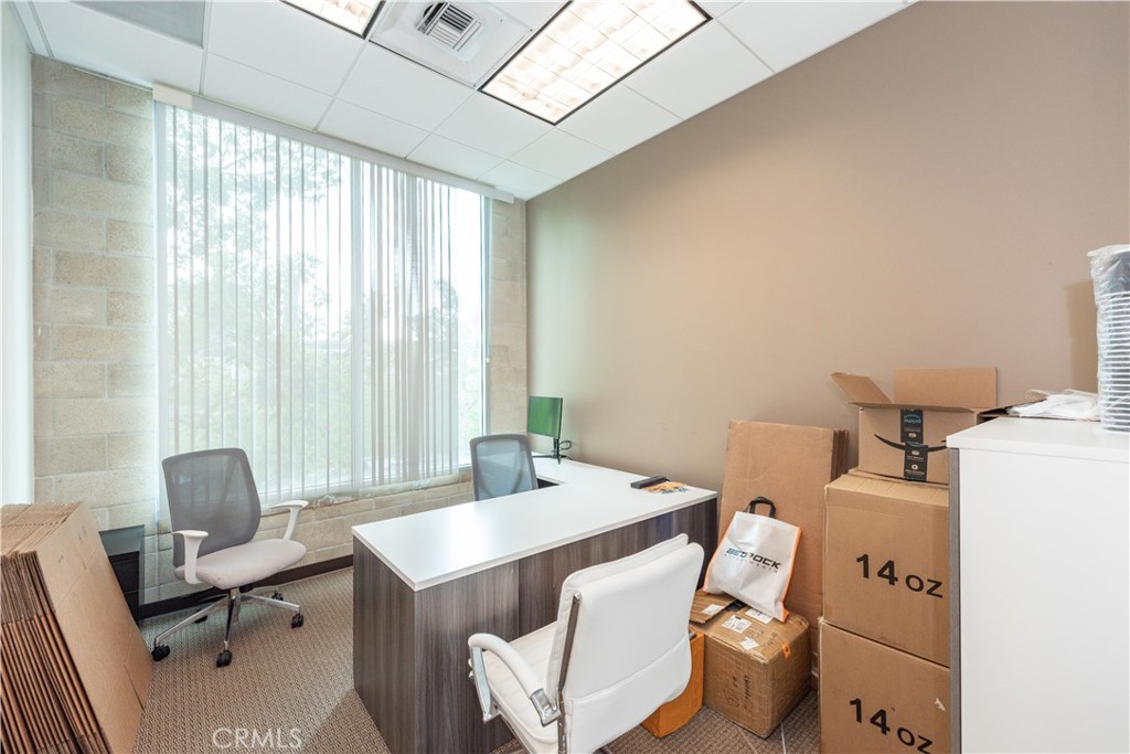
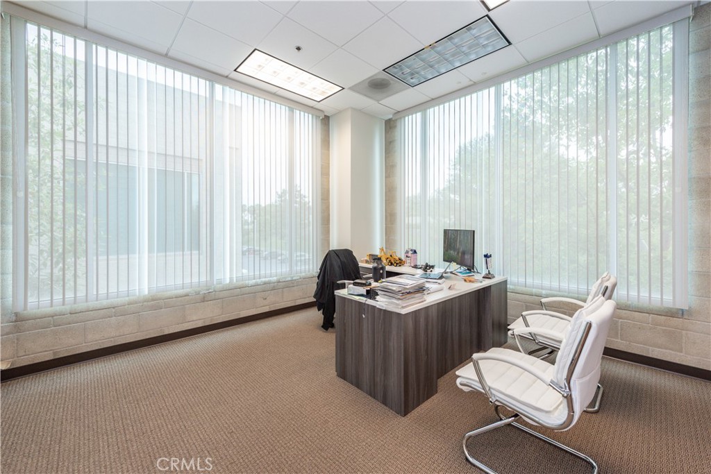
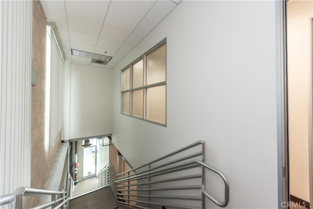
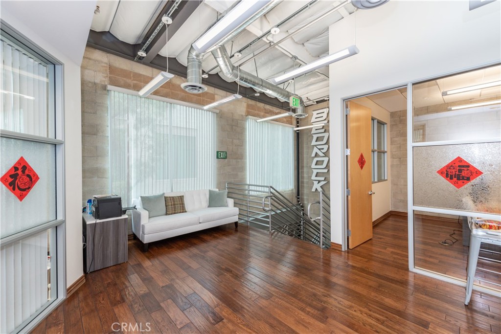
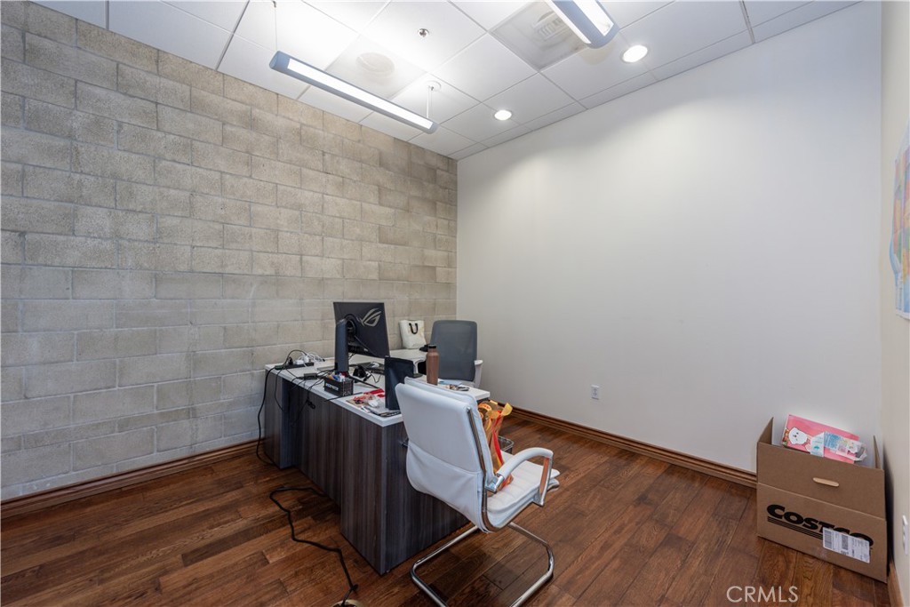
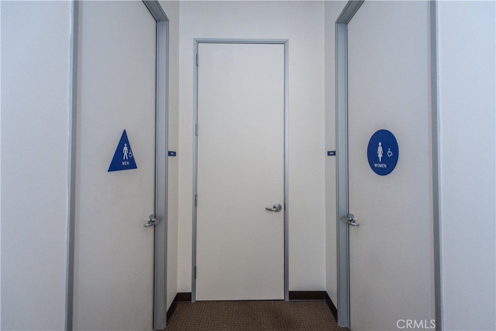
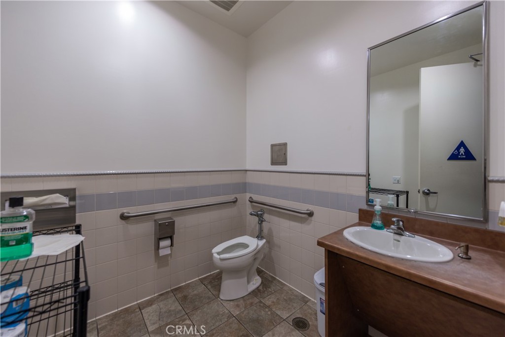
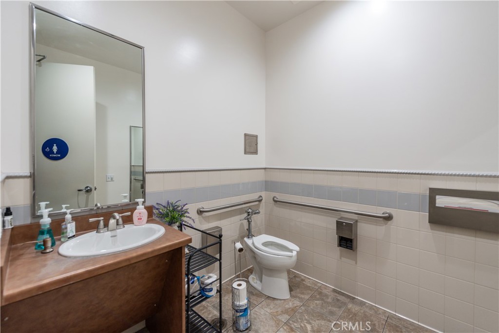
First and second available. Each floor offering 5 private offices, conference room, open area, kitchen, 2 private restrooms, two Central Air Conditioning, corner location, high quality hardwood floor in Open Area, Fully Carpeted offices and lots of 9.5 - 10 feet tall windows and lots of Natural Light. Space is equipped with 24/7 security alarm system. Signage for lease agreement of 3+ years will be allowed by Landlord at Tenant's Expense as long as signage is approved by City of Irvine and Association. Great location, easy access to freeways 5, 405 and 133 in the heart of the spectrum with lots of parking, walking distance to Los Olives Marketplace, Irvine. Property will be ready for occupancy August 1, 2026. Full service gross $28/S.F/Y, tenant pays for their own internet and janitorial services, Landlord will pay for everything else
Photographs
Photos of 8925 Research Drive, Irvine
Specifications
Property Details
At a glance
- Lease Rate
- N/A
- Days On Site
- 248 Days
- Space Available (SqFt)
- N/A
- Building Size (SqFt)
- 4,950 sqft
- Lot Size
- 5,000 SqFt
- Year Built
- N/A
- MLS® Number
- OC26058058
- Status
- Active
Property Details
- Property Type
- Office
- MLS Number
- OC26058058
- Building Size (sq ft)
- 4,950
- Lot Size (sq ft)
- 5,000
- Lot Size (acres)
- 0.1148
- Occupancy
- Tenant
- Parcel Number
- 58817709
- On Market Date
- 2026-03-17
Lease Terms
- Lease Type
- Full Service, Gross
- Owner Pays
- Exterior Maintenance, Hvac Maintenance, Insurance, Management, Roof Maintenance, Taxes, Trash Collection, Water
- Tenant Pays
- Cable Tv, Janitorial Service
Added by Realatrends Real Estate
Flood, Fire and Earthquake Zones for 8925 Research Drive
We looked up this property's map point in public government maps. These facts are not part of the MLS listing.
Hazard zones
- Flood zone
Zone X, area of minimal flood hazard. Outside FEMA's Special Flood Hazard Area.
FEMA National Flood Hazard Layer, FIRM panel 06059C0313J effective December 3, 2009. Checked November 16, 2026.
- Fire hazard severity zone
Not in a fire hazard severity zone on the State Fire Marshal's map.
CAL FIRE, State Fire Marshal map for Local Responsibility Areas, March 24, 2025. Checked November 15, 2026.
- Earthquake fault zone
Outside the Alquist-Priolo Earthquake Fault Zones.
California Geological Survey, Earthquake Fault Zones. Checked November 15, 2026.
- Liquefaction zone
Outside the liquefaction zones.
California Geological Survey, Seismic Hazard Zones map, Lake Forest quadrangle, released January 17, 2001. Checked November 15, 2026.
- Landslide zone
Outside the earthquake-induced landslide zones.
California Geological Survey, Seismic Hazard Zones map, Lake Forest quadrangle, released January 17, 2001. Checked November 15, 2026.
Internet and charging
- Fixed internet
Fiber: AT&T, up to 5,000 Mbps, at 30 of 33 residential locations in this census block. Fiber: Cox Communications, up to 2,000 Mbps, at 18 of 33. DSL: AT&T, up to 10 Mbps, at 3 of 33.
FCC National Broadband Map, provider-reported data as of June 30, 2026, for census block 060590626533002, not for this address. Not endorsed by the FCC. Checked October 15, 2026.
- EV charging
Nearest public charger 0.3 miles away (ChargePoint, 1 Level 2 port). 916 public charging ports within 3 miles.
U.S. Department of Energy, Alternative Fuels Data Center. Straight-line distance. Checked November 15, 2026.
These facts are for the listing's map point, which can sit off the lot. A zone line can also cross a lot, and agencies revise their maps. In cities, the fire zone line follows the State Fire Marshal's 2025 map; each city adopts its own map and may add areas. These lines are not a Natural Hazard Disclosure. Check the official maps before you rely on them. Sources for the earthquake zone lines: Reproduced with permission, California Geological Survey, Webservice of Official Maps of Alquist-Priolo Earthquake Fault Zones (2025). Reproduced with permission, California Geological Survey, Webservice of Official Maps of Seismic Hazard Zones (2025).
Official maps
The neighborhood
About Irvine
Master-planned on the former Irvine Ranch and incorporated in 1971, Irvine arranges villages such as Turtle Rock and University Park around the University of California, Irvine. The city is anchored by the Orange County Great Park, on the former Marine Corps Air Station El Toro, and most of it is served by the Irvine Unified School District.
Location
Location
Nearby listings
Similar Properties for Lease in Irvine
3,158Bldg Sq Ft1.16Acre Lot
Pending
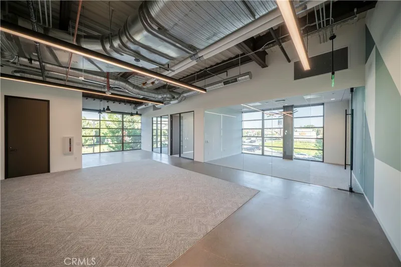
2,094Space Sq Ft2,094Sq Ft Lot
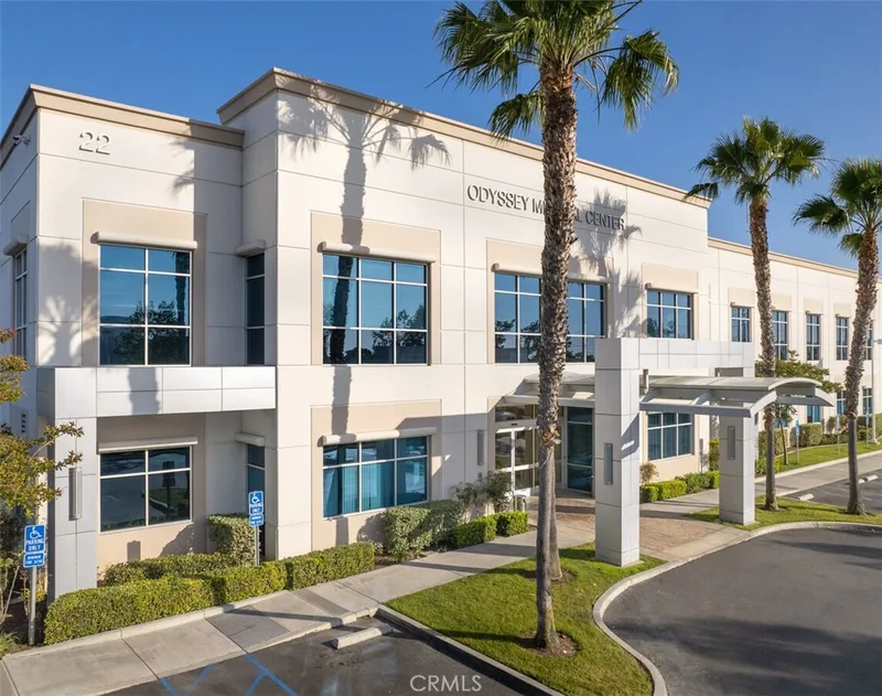
1,500Space Sq Ft3.37Acre Lot
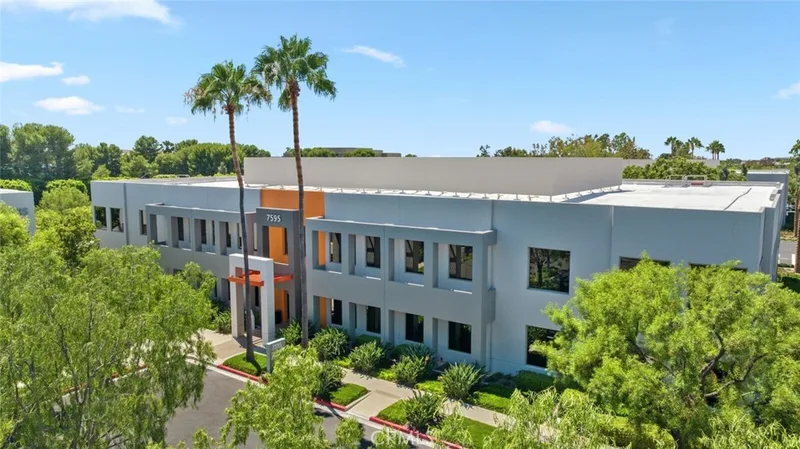
3,687Space Sq Ft1.02Acre Lot
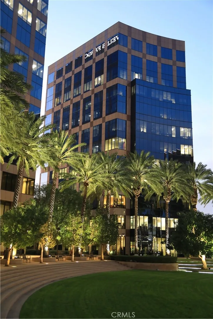
271,106Space Sq Ft1.16Acre Lot
4,960Bldg Sq Ft0.50Acre Lot
Explore
Explore Irvine Real Estate
See Orange County commercial property for lease, or search the full Orange County MLS on our live homes search. Questions about 8925 Research Drive? Talk to Realatrends.
Explore Orange County
Browse Homes by City
Listed by Ghity Mahdara of Sage Investment Group
Listing information updated Oct 16, 2026 at 1:18 PM PT. Source: CRMLS.
 This information is for your personal, non-commercial use and may not be used for any purpose other than to identify prospective properties you may be interested in purchasing. The display of MLS data is usually deemed reliable but is NOT guaranteed accurate by the MLS. Buyers are responsible for verifying the accuracy of all information and should investigate the data themselves or retain appropriate professionals. Information from sources other than the Listing Agent may have been included in the MLS data. Unless otherwise specified in writing, the Broker/Agent has not and will not verify any information obtained from other sources. The Broker/Agent providing the information contained herein may or may not have been the Listing and/or Selling Agent.