305 17th, Huntington Beach, CA 92648
- 2,940 sq ft
- 5,663 sq ft lot
$3,999,999
Subdivision Downtown Area
The property
About 305 17th
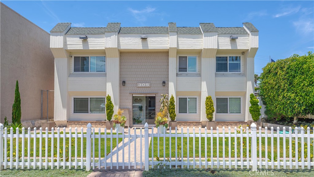
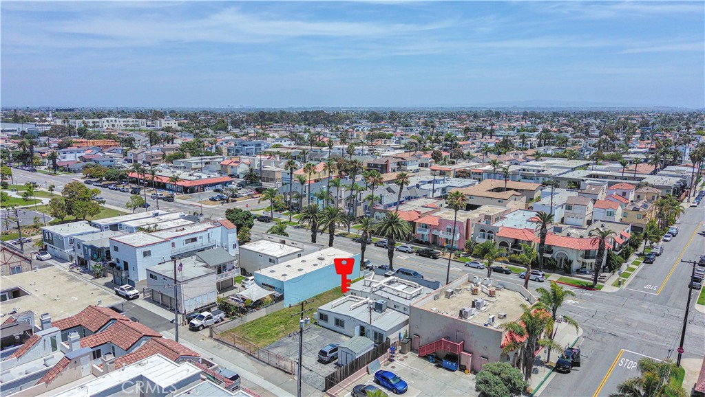
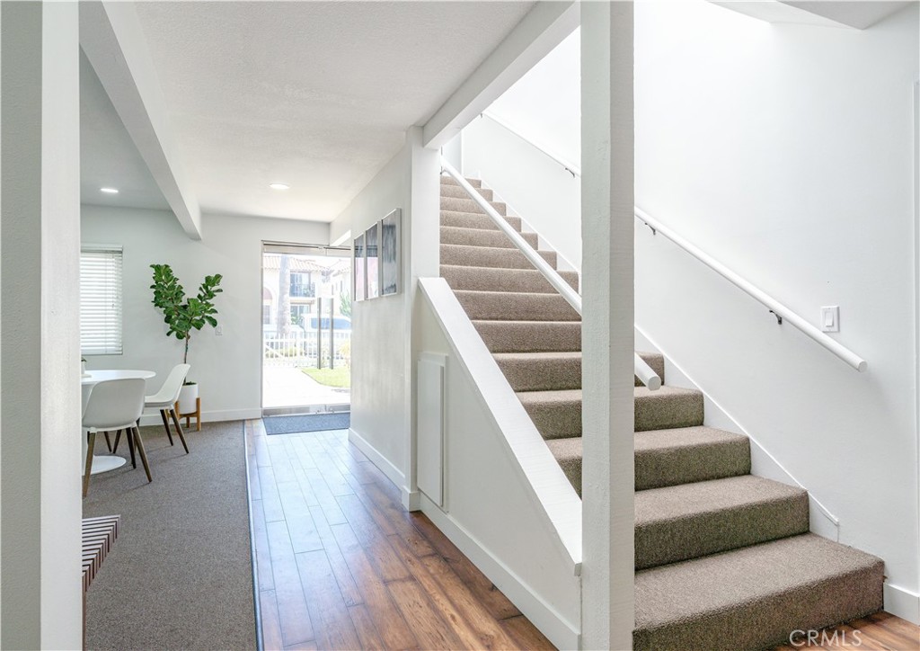
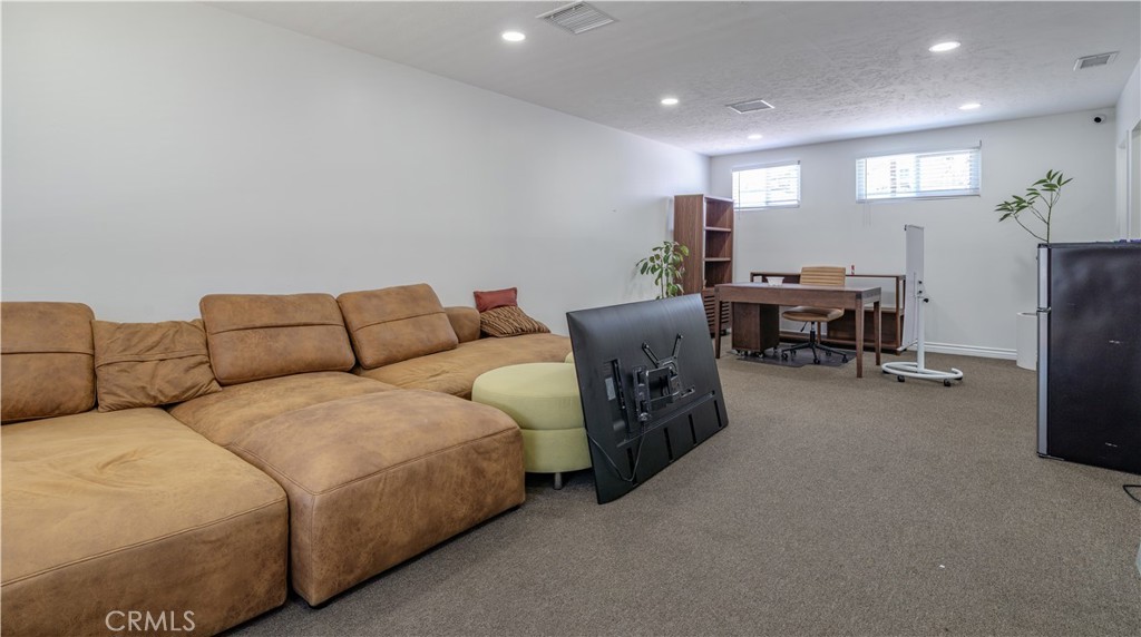
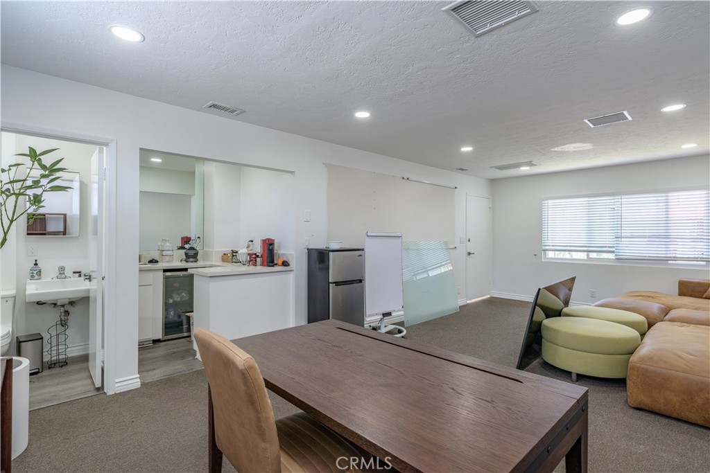
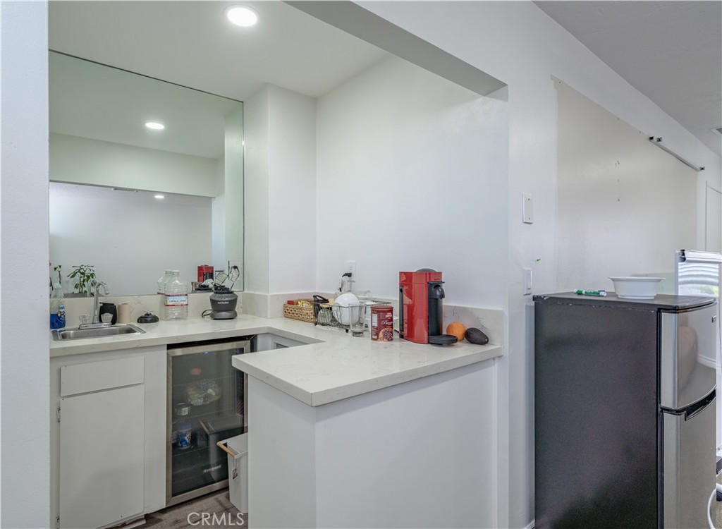
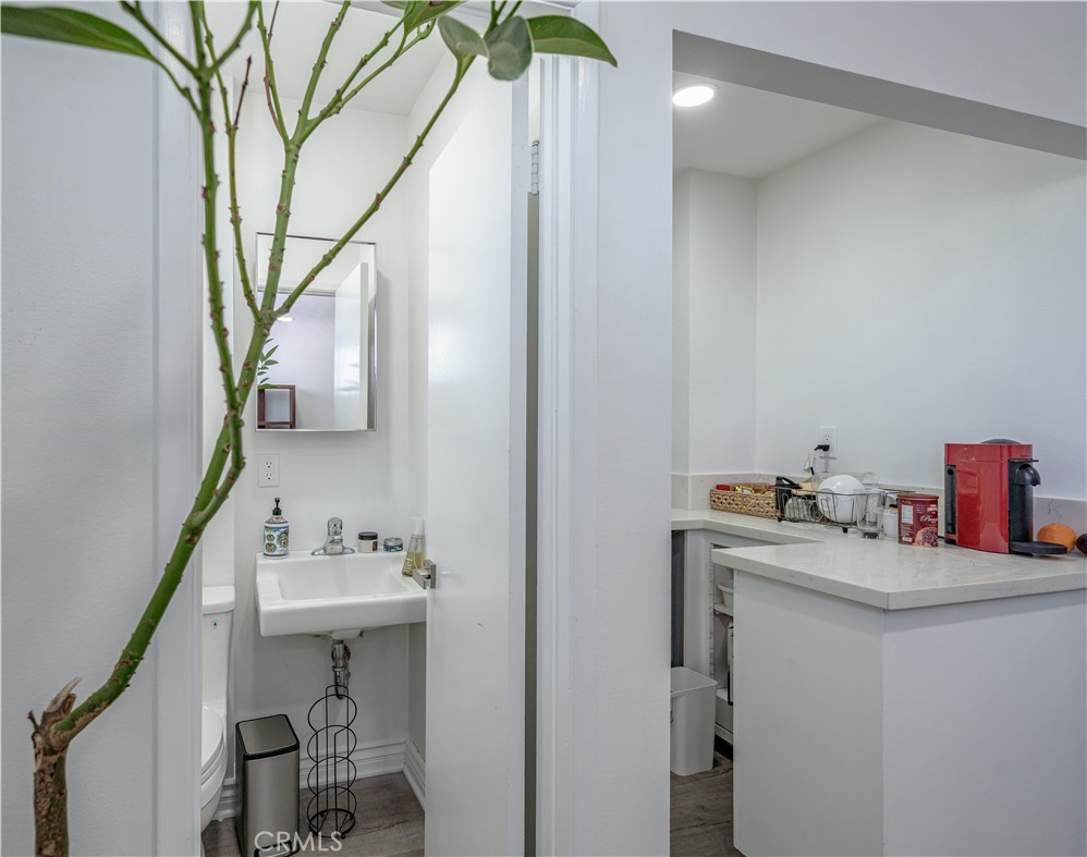
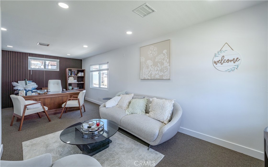
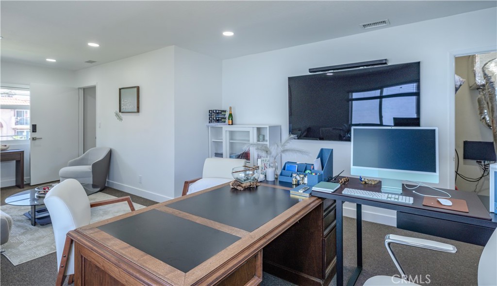
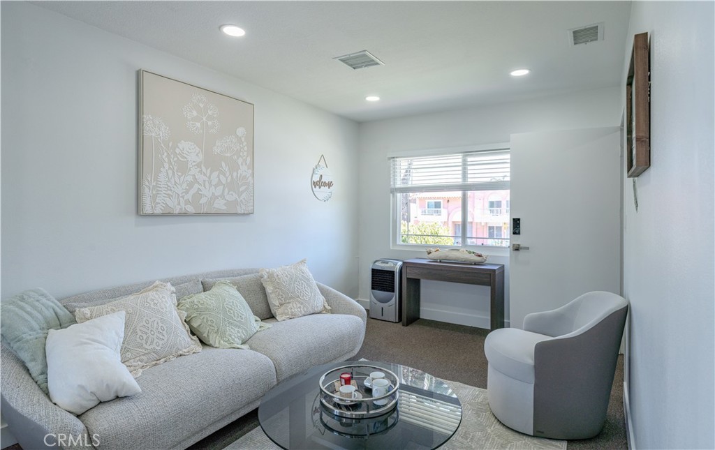
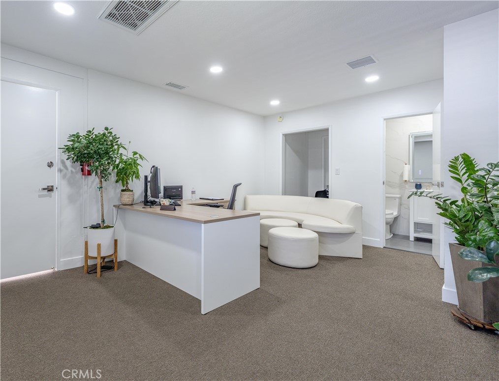
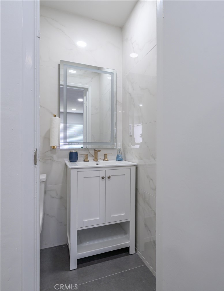
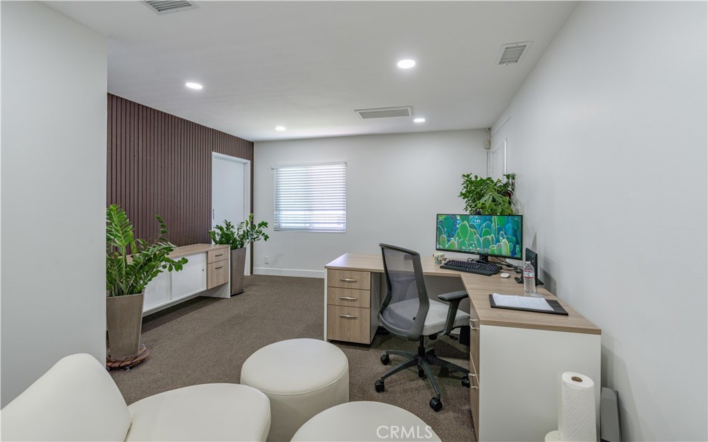
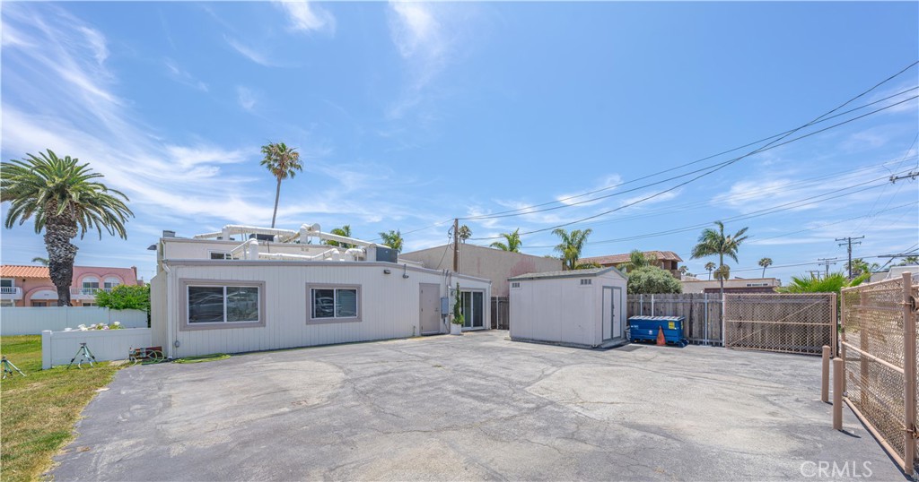
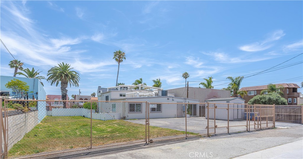
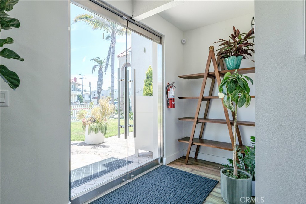
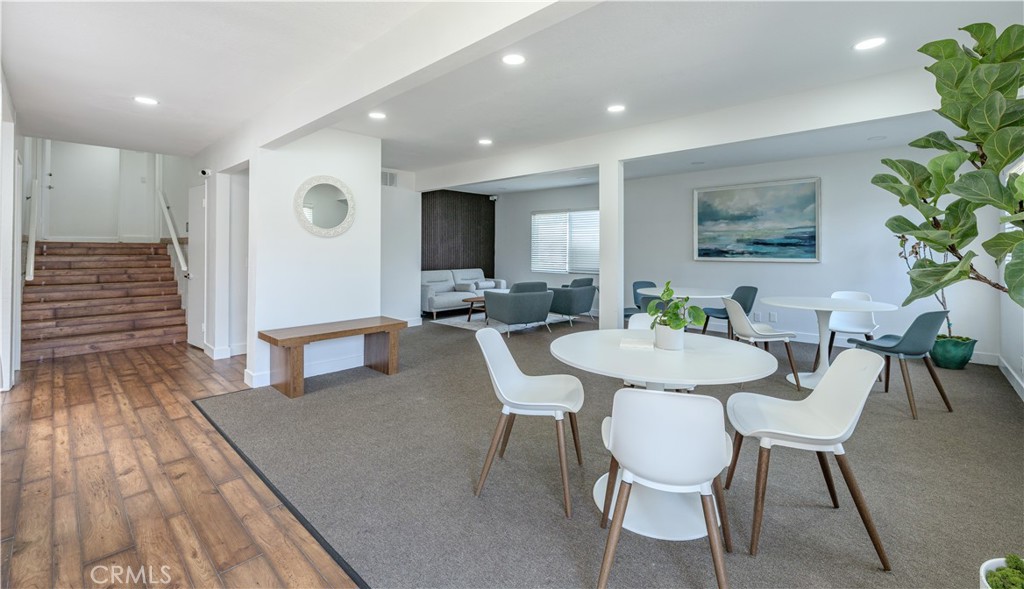
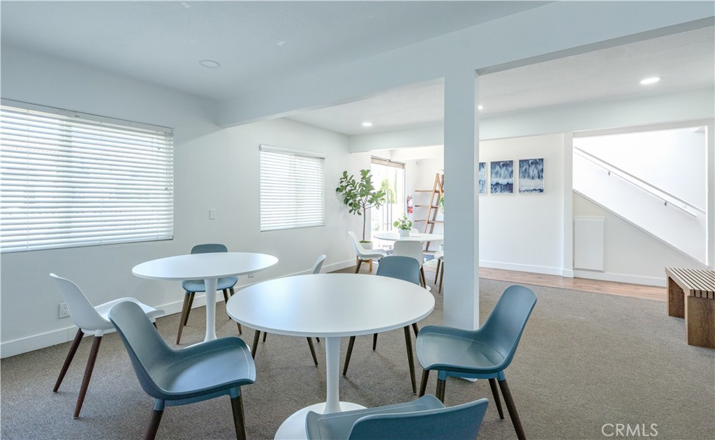
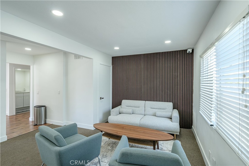
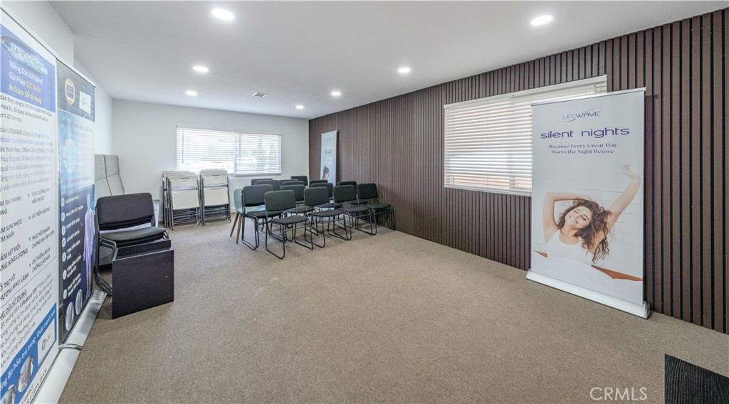
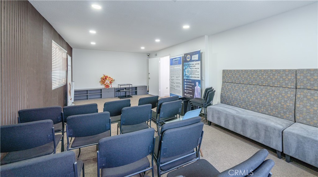
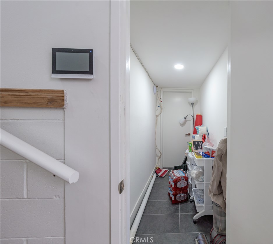
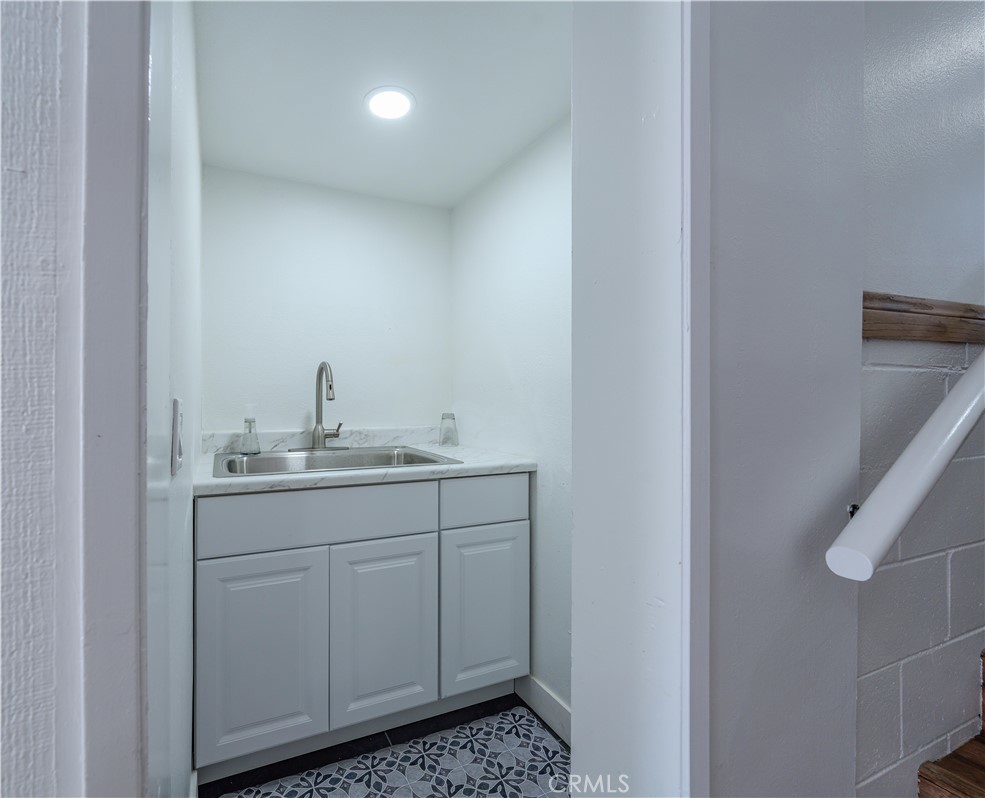
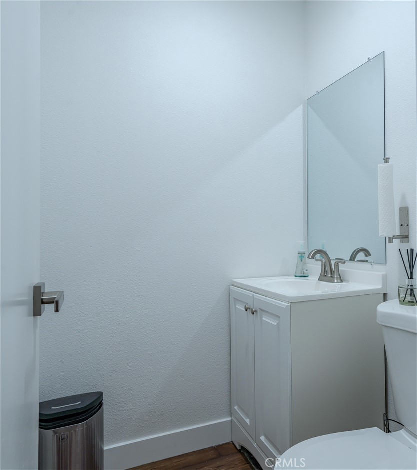
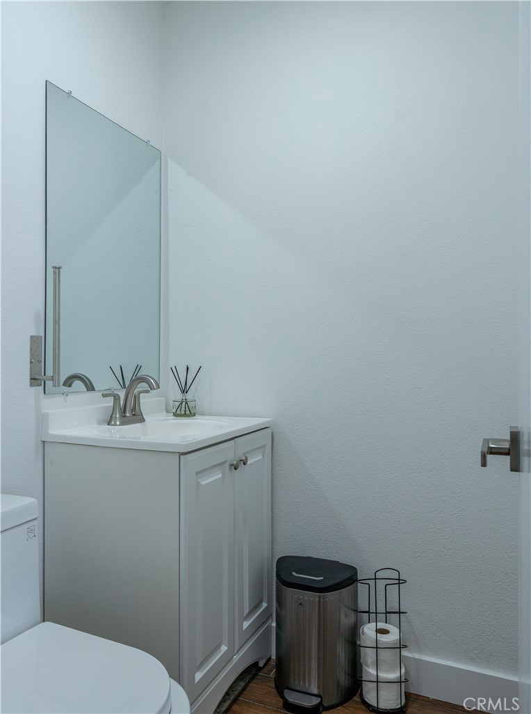
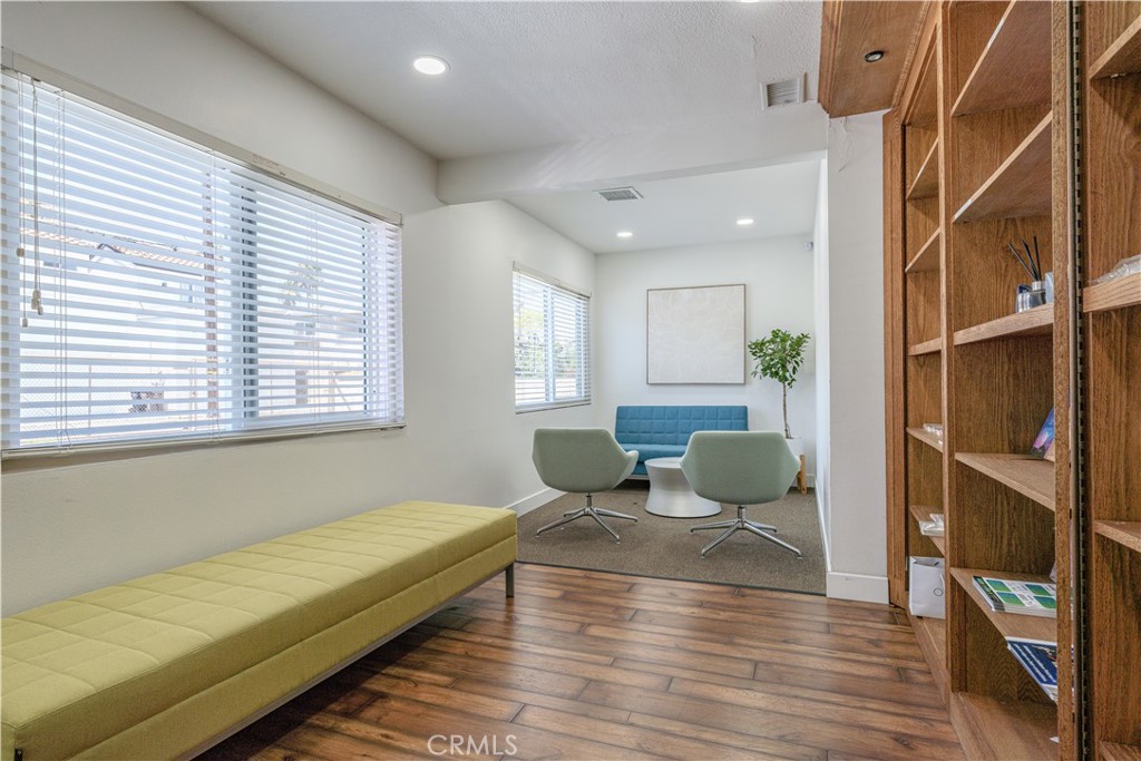
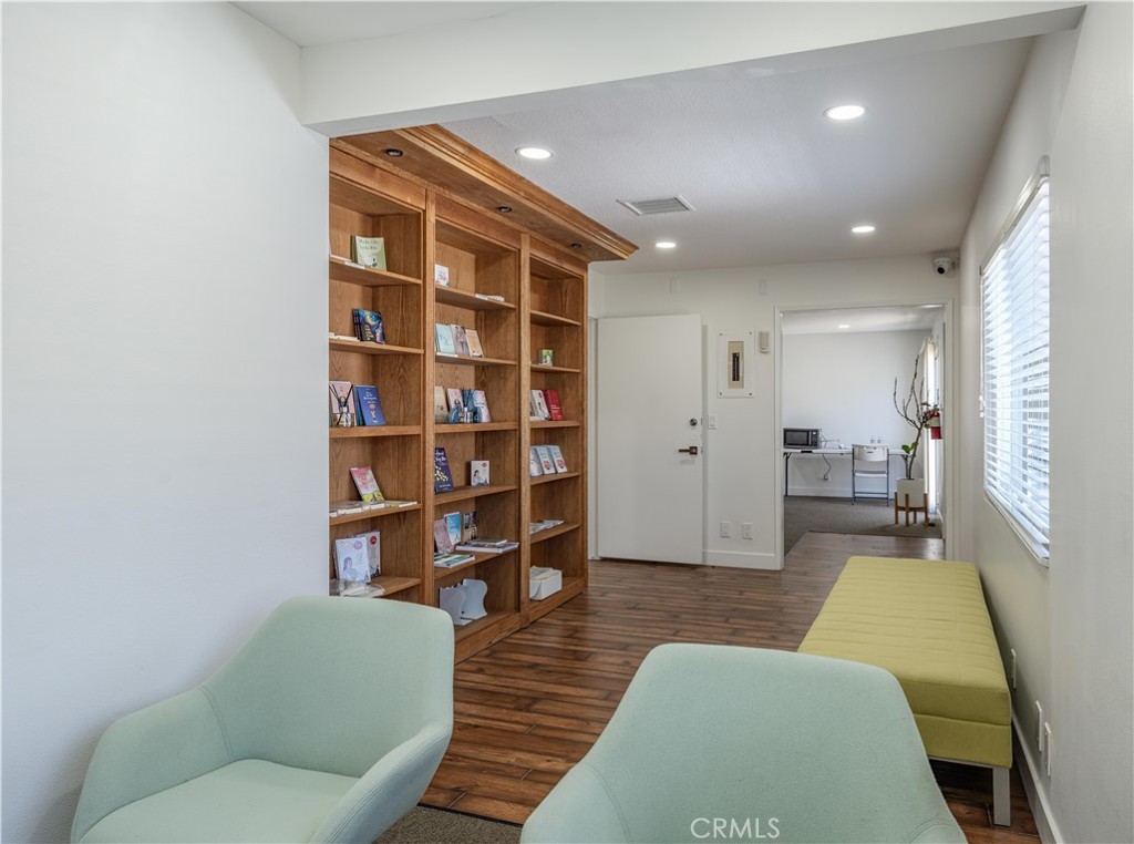
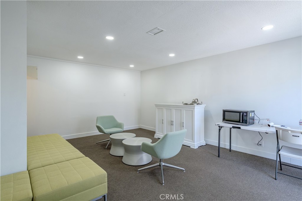
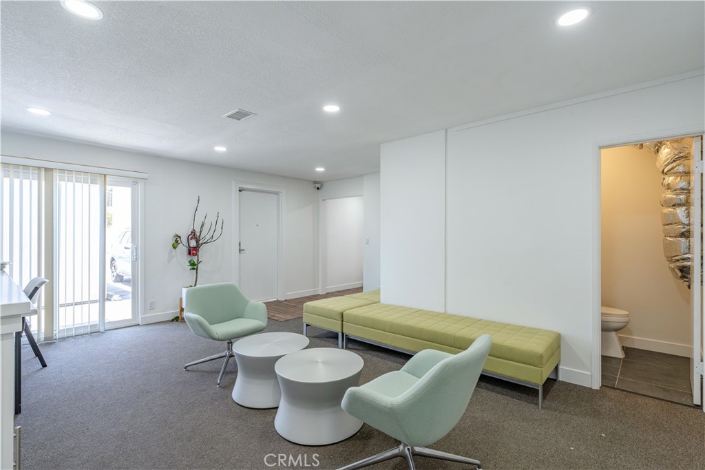
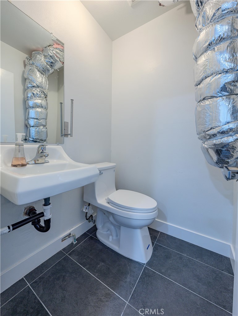
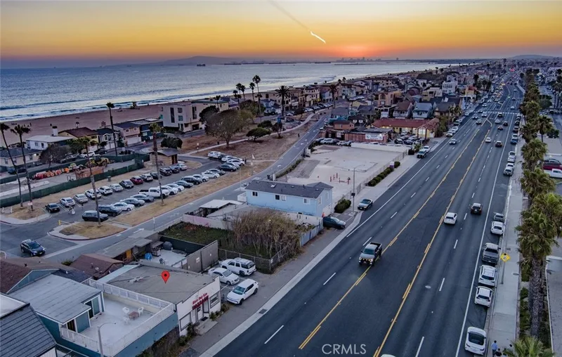
Fantastic opportunity in a beautifully remodeled commercial office building in the heart of Downtown Huntington Beach. Offering approximately 2,940 square feet across two levels, this versatile property provides a variety of configurations to accommodate a wide range of business needs. The thoughtfully designed space features multiple open work areas, private offices, meeting spaces, a dedicated conference room, break rooms, and convenient front and rear access. The flexible layout offers an ideal combination of collaborative and private work environments. Located just a short stroll from the beach, the property puts your business in the middle of the energy and lifestyle that make Huntington Beach—Surf City USA—such a desirable destination. The vacant lot next door is available and being sold separately, please see listing for 311 17th. St, Huntington Beach if interested.
Specifications
Property Details
At a glance
- Price
- $3,999,999
- Days On Site
- 3 Days
- Building Size (SqFt)
- 2,940 sqft
- Lot Size
- 5,663 SqFt
- Year Built
- N/A
- MLS® Number
- OC26229118
- Status
- Active
Property Details
- Property Type
- Office
- MLS Number
- OC26229118
- Building Size (sq ft)
- 2,940
- Lot Size (sq ft)
- 5,663
- Lot Size (acres)
- 0.13
- Occupancy
- Vacant
- Parcel Number
- 02315615
- On Market Date
- 2026-10-22
The record
Property History for 305 17th
| Date | Event | Price | Note |
|---|---|---|---|
| Oct 22, 2026 | Relisted | $3,999,999 | |
| Jan 3, 2025 | Sold | $2,495,000 | Coldwell Banker-Campbell Rltrs |
Added by Realatrends Real Estate
Flood, Fire and Earthquake Zones for 305 17th
We looked up this property's map point in public government maps. These facts are not part of the MLS listing.
Hazard zones
- Flood zone
Zone X, area of minimal flood hazard. Outside FEMA's Special Flood Hazard Area.
FEMA National Flood Hazard Layer, FIRM panel 06059C0242K effective March 21, 2019. Checked October 15, 2026.
- Fire hazard severity zone
Not in a fire hazard severity zone on the State Fire Marshal's map.
CAL FIRE, State Fire Marshal map for Local Responsibility Areas, March 24, 2025. Checked October 15, 2026.
- Earthquake fault zone
Outside the Alquist-Priolo Earthquake Fault Zones.
California Geological Survey, Earthquake Fault Zones map, Seal Beach quadrangle, released July 1, 1986. Checked October 15, 2026.
- Liquefaction zone
Outside the liquefaction zones.
California Geological Survey, Seismic Hazard Zones map, Seal Beach quadrangle, released March 25, 1999. Checked October 15, 2026.
- Landslide zone
Outside the earthquake-induced landslide zones.
California Geological Survey, Seismic Hazard Zones map, Seal Beach quadrangle, released March 25, 1999. Checked October 15, 2026.
- Tsunami hazard area
Outside the Tsunami Hazard Area on the State's evacuation planning map.
California Geological Survey and Cal OES, Tsunami Hazard Area map for Orange County (2021). Checked October 15, 2026.
Internet and charging
- Fixed internet
Fiber: Frontier, up to 7,000 Mbps, at 17 of 21 residential locations in this census block. Cable: Spectrum, up to 1,000 Mbps, at 21 of 21. DSL: Frontier, up to 10 Mbps, at 2 of 21.
FCC National Broadband Map, provider-reported data as of December 31, 2025, for census block 060590993102012, not for this address. Not endorsed by the FCC. Checked October 15, 2026.
- EV charging
Nearest public charger 0.8 miles away (ChargePoint, 2 Level 2 ports). 83 public charging ports within 3 miles.
U.S. Department of Energy, Alternative Fuels Data Center. Straight-line distance. Checked October 15, 2026.
These facts are for the listing's map point, which can sit off the lot. A zone line can also cross a lot, and agencies revise their maps. In cities, the fire zone line follows the State Fire Marshal's 2025 map; each city adopts its own map and may add areas. These lines are not a Natural Hazard Disclosure. Check the official maps and the seller's disclosures before you rely on them. Sources for the earthquake zone lines: Reproduced with permission, California Geological Survey, Webservice of Official Maps of Alquist-Priolo Earthquake Fault Zones (2025). Reproduced with permission, California Geological Survey, Webservice of Official Maps of Seismic Hazard Zones (2025).
Official maps
The neighborhood
About Huntington Beach
Huntington Beach stretches along the Pacific coast in Orange County, anchored by its landmark pier, the Bolsa Chica Ecological Reserve, and Huntington Central Park, the largest city-owned park in the county. Nicknamed Surf City USA, the community spans beachfront blocks, the waterways of Huntington Harbour, and inland neighborhoods within the Huntington Beach Union High School District.
Location
Location
Photographs
Photos of 305 17th, Huntington Beach
Nearby listings
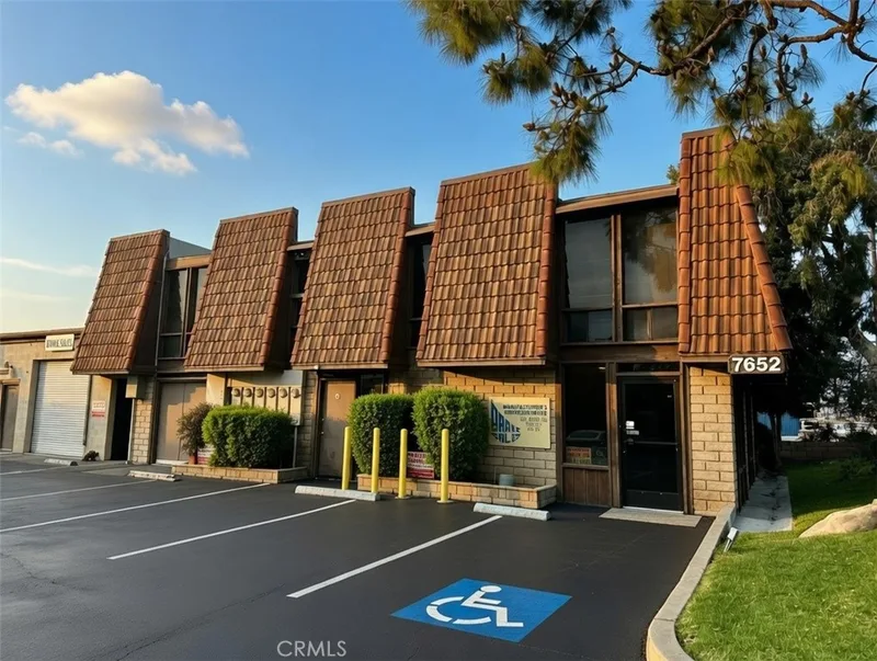
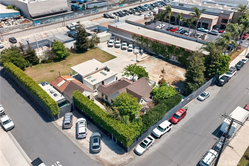
Similar Properties for Sale in Huntington Beach
Active Under Contract
Explore
Explore Huntington Beach Real Estate
See Orange County commercial property for sale, or search the full Orange County MLS on our live homes search. Questions about 305 17th? Talk to Realatrends.
- Huntington Beach Homes for Sale
- Huntington Beach 92648 Homes for Sale
- Huntington Harbour
- Orange County Real Estate
Explore Orange County
Browse Homes by City
Listed by Elizabeth Do of Keller Williams Realty
Listing information updated Oct 23, 2026 at 10:48 AM PT. Source: CRMLS.
 This information is for your personal, non-commercial use and may not be used for any purpose other than to identify prospective properties you may be interested in purchasing. The display of MLS data is usually deemed reliable but is NOT guaranteed accurate by the MLS. Buyers are responsible for verifying the accuracy of all information and should investigate the data themselves or retain appropriate professionals. Information from sources other than the Listing Agent may have been included in the MLS data. Unless otherwise specified in writing, the Broker/Agent has not and will not verify any information obtained from other sources. The Broker/Agent providing the information contained herein may or may not have been the Listing and/or Selling Agent.