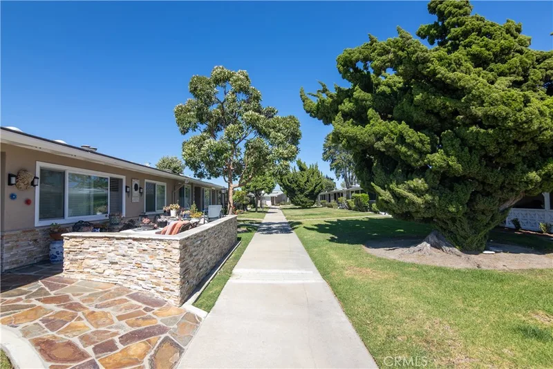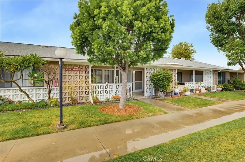
$220,000
1 bd · 1 ba · 800 sq ft13540 Medinac Lane 104CSeal Beach, CA 90740Leisure World
Sold
13341 Saint Andrews Drive 137L sold on June 5, 2013 for $185,000. The details are below for reference.
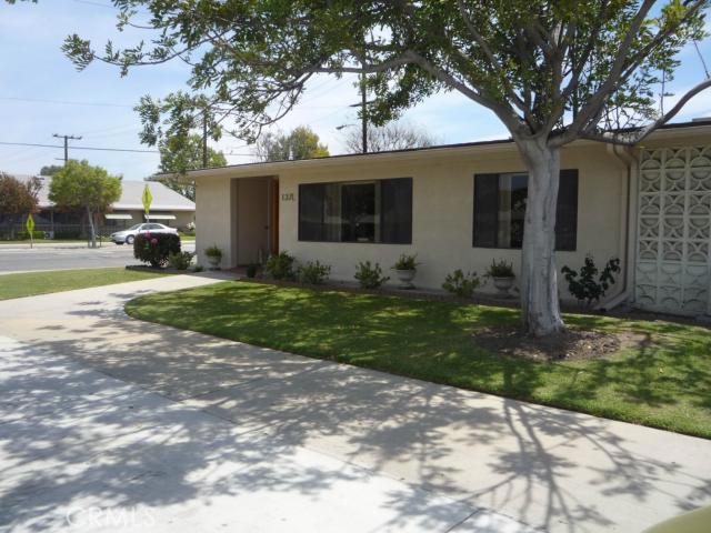
Own 13341 Saint Andrews Drive Unit 137L? Request a free home valuation to see what it is worth today.
Subdivision Leisure World
The home
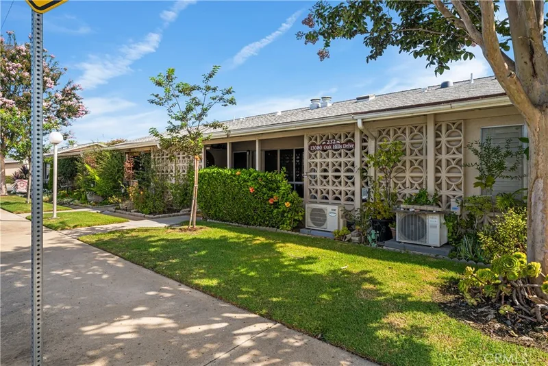
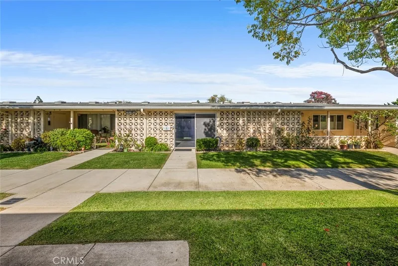
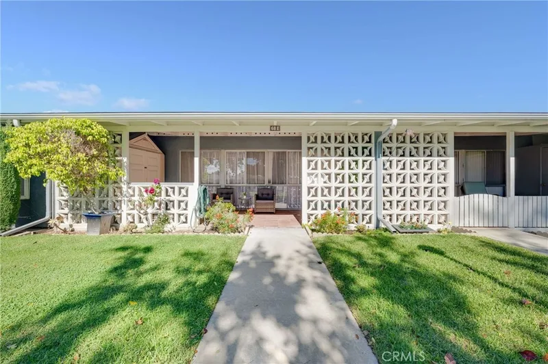
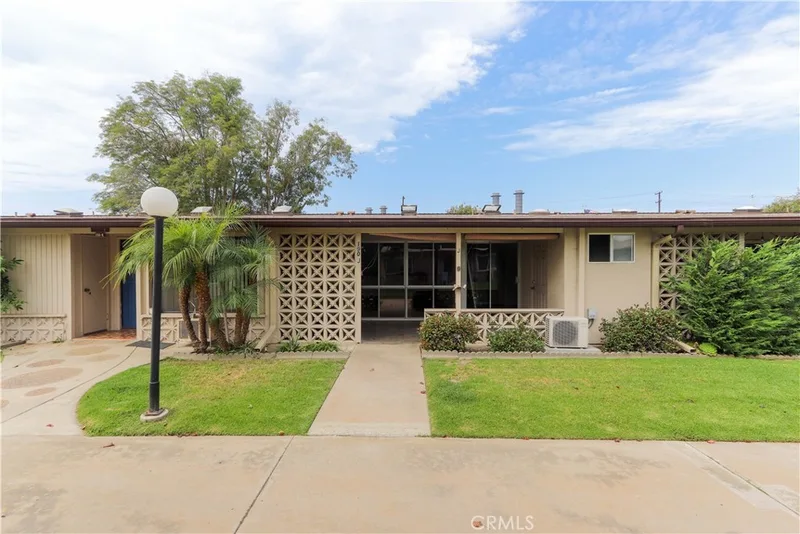
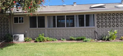
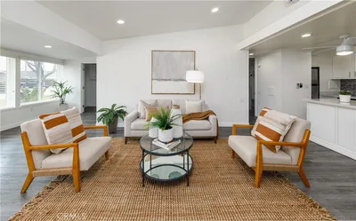
Fully Expanded Corner with Large Open floor plan. Great wide-open view to Greenbelt Plus drive-up on side and in front. Awesome location mid-way between Downtown Amenities & Health center and Northen end of St Andrews at Clubhses, Library, & Art rooms. NE and NW exposures mean Good Air flow and Sunshine. Custom front door, Smooth ceilings, CENTRAL air/heat, Washer /Dryer. Upgraded Kitchen has Huge Skylite, added Glass DisplayCabinet & added Pantry, Convenient pull-out shelves in lower cabinets, Microwave blt-in over the oven, Glass-top stove, & Beautiful Counters. Light/Bright Bathrm has Skylite and Cut-down Bathtub. Mbdrm has huge walk-in closet with extra overhead storage and Blt-in Cabinet. (Mutual 6 #137L) (Carport 81 Space 25)
This 2-bedroom, 1-bath home sits in the Leisure World neighborhood of Seal Beach in Orange County. It has 1,100 square feet of living space. The home was built in 1963. The MLS record lists the assessor parcel number as 947-328-23. Highlights include a community pool and spa, a fireplace, single-story living, central air, and contemporary architecture.
Specifications
The record
| Date | Event | Price | Note |
|---|---|---|---|
| Jun 5, 2013 | Sold | $185,000 | |
| Apr 19, 2013 | Listed for sale | $180,000 |
No prior MLS sales on record for this home since 2012.
Added by Realatrends Real Estate
We looked up this home's map point in public government maps. These facts are not part of the MLS listing.
Zone X. Outside FEMA's Special Flood Hazard Area.
FEMA National Flood Hazard Layer, FIRM panel 06059C0114K effective March 21, 2019. Checked October 15, 2026.
Not in a fire hazard severity zone on the State Fire Marshal's map.
CAL FIRE, State Fire Marshal map for Local Responsibility Areas, March 24, 2025. Checked November 15, 2026.
Outside the Alquist-Priolo Earthquake Fault Zones.
California Geological Survey, Earthquake Fault Zones map, Los Alamitos quadrangle, released July 1, 1986. Checked November 15, 2026.
Inside a Seismic Hazard Zone for liquefaction.
California Geological Survey, Seismic Hazard Zones map, Los Alamitos quadrangle, released March 25, 1999. Checked November 15, 2026.
Outside the earthquake-induced landslide zones.
California Geological Survey, Seismic Hazard Zones map, Los Alamitos quadrangle. Checked November 15, 2026.
Outside the Tsunami Hazard Area on the State's evacuation planning map.
California Geological Survey and Cal OES, Tsunami Hazard Area map for Orange County (2021). Checked November 15, 2026.
Fiber: Frontier, up to 7,000 Mbps, at 73 of 133 residential locations in this census block. Fiber: Spectrum, up to 1,000 Mbps, at 4 of 133. Cable: Spectrum, up to 1,000 Mbps, at 133 of 133.
FCC National Broadband Map, provider-reported data as of June 30, 2026, for census block 060590995101000, not for this address. Not endorsed by the FCC. Checked October 15, 2026.
Nearest public charger 0.7 miles away (ChargePoint, 2 Level 2 ports). 148 public charging ports within 3 miles.
U.S. Department of Energy, Alternative Fuels Data Center. Straight-line distance. Checked October 15, 2026.
These facts are for the listing's map point, which can sit off the lot. A zone line can also cross a lot, and agencies revise their maps. In cities, the fire zone line follows the State Fire Marshal's 2025 map; each city adopts its own map and may add areas. These lines are not a Natural Hazard Disclosure. Check the official maps and the seller's disclosures before you rely on them. Sources for the earthquake zone lines: Reproduced with permission, California Geological Survey, Webservice of Official Maps of Alquist-Priolo Earthquake Fault Zones (2025). Reproduced with permission, California Geological Survey, Webservice of Official Maps of Seismic Hazard Zones (2025).
Official maps
Next steps
13341 Saint Andrews Drive 137L is no longer on the market, but comparable homes come up in Seal Beach regularly. We can tell you what this one actually closed at and set up alerts for listings that match it.
Thinking of selling nearby? We bring current Leisure World sales data and a clear pricing strategy to every listing, backed by more than 700 closed sales and over $1B in Orange County volume. Start with a free home valuation, or reach out to talk through your options.
Nearby listings
Nearby sales
| Home | Sold price | Asking | Of asking | Beds | Baths | Sq ft | Per sq ft | Days on market |
|---|---|---|---|---|---|---|---|---|
 1491 Interlachen Road M10-257GSold Nov 4, 2026 | $510,000 | $510,000 | 100% | 2 | 2 | 1,100 | $464 | 2 |
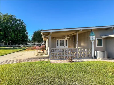 13301 St. Andrews Dr., M6-138ASold Apr 28, 2026 | $505,000 | $520,000 | 97% | 2 | 2 | 950 | $532 | 30 |
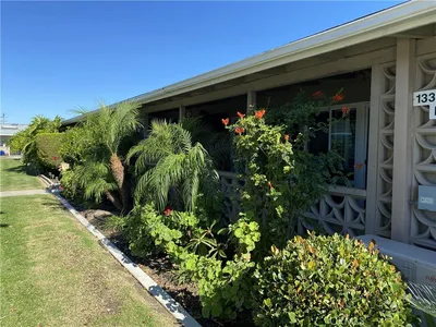 13380 Danbury Ln. M6-130DSold Dec 9, 2025 | $345,000 | $349,000 | 99% | 2 | 1 | 750 | $460 | 96 |
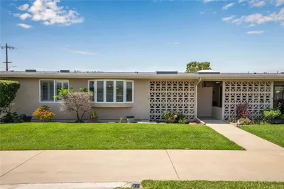 13350 St. Andrews Drive 68E M12Sold Mar 9, 2026 | $352,000 | $365,000 | 96% | 2 | 1 | 1,100 | $320 | 215 |
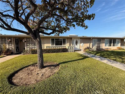 13330 Saint Andrew's Drive 67BSold Jan 13, 2026 | $360,000 | $359,000 | 100% | 2 | 1 | 950 | $379 | 5 |
 1420 Oakmont Rd M6 139KSold Nov 10, 2026 | $316,500 | $323,000 | 98% | 2 | 1 | 900 | $352 | 27 |
 13280 St. Andrews 256-ASold Mar 2, 2026 | $589,000 | $589,000 | 100% | 2 | 1 | 1,100 | $535 | 39 |
Medians of these 7 sales: $360,000 sold, 99% of asking, $460 per sq ft, 30 days on market. Asking is the last list price before the sale.
See every recent sale in Seal BeachJust listed
Explore
See every home for sale in Seal Beach, or search the full Orange County MLS on our live homes search. Questions about 13341 Saint Andrews Drive Unit 137L? Talk to Realatrends.
New Orange County homes by email, often before they reach the big portals.
You are all set.
Listed by Carolyn Mc Inerney of Charles Briskey Real Estate
Listing information updated Oct 17, 2022 at 12:41 PM PT. Source: CRMLS.
 This information is for your personal, non-commercial use and may not be used for any purpose other than to identify prospective properties you may be interested in purchasing. The display of MLS data is usually deemed reliable but is NOT guaranteed accurate by the MLS. Buyers are responsible for verifying the accuracy of all information and should investigate the data themselves or retain appropriate professionals. Information from sources other than the Listing Agent may have been included in the MLS data. Unless otherwise specified in writing, the Broker/Agent has not and will not verify any information obtained from other sources. The Broker/Agent providing the information contained herein may or may not have been the Listing and/or Selling Agent.
Send a quick note and Clark will get back to you personally, or call 949·494·8830.
Send a note about this home and Clark will get back to you.
Pick a day and time that work. Clark confirms the details with you.