Sold
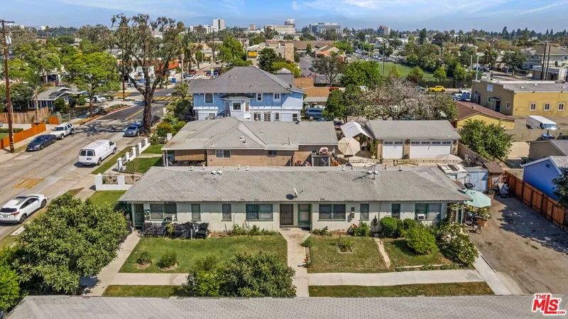
1517 W SANTA ANA BLVD sold on June 21, 2022 for $1,000,000. The details are below for reference.
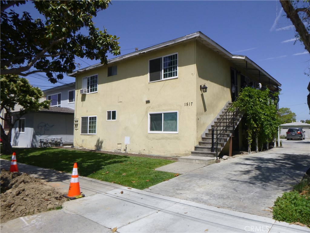
1517 W SANTA ANA BLVD, Santa Ana, CA 92701
- 3,200 sq ft
- Built 1948
Own 1517 W SANTA ANA BLVD? Request a free home valuation to see what it is worth today.
$1,000,000
The home
About 1517 W SANTA ANA BLVD
***LENDER OWNED REO BARGAIN, ALL 2BEDROOM + 1 BATH UNITS, GREAT SANTA ANA LOCATION, LONG TERM TENANTS, PROPERTY NEEDS WORK, CITY HAS FILED SUBSTANDARD BUILDING VIOLATIONS(PLEASE SEE ATTACHMENT) BUYER MUST TAKE OVER AS IS, SELLER WILL ONLY LOOK AT
ALL CASH OFFERS AS IS. SANTA ANA TROLLEY IS AT YOUR FRONT DOOR! MUST SEE THIS ONE!
Property details for 1517 W SANTA ANA BLVD
This home sits in Santa Ana in Orange County. It has 3,200 square feet of living space. The home was built in 1948.
Specifications
Home Details
General Features
- MLS Number
- PW22105063
- Year Built
- 1948
- Lot Size (sq ft)
- 6,630
- Lot Size (acres)
- 0.1522
- Parking Spaces
- 6
- On Market Date
- 2022-05-18
- Listing Terms
- Real Estate Owned
Interior Features
- Laundry
- None
- Common Walls
- One Common Wall
Exterior Features
- Lot Features
- Front Yard
- Pool Features
- None
- Sewer
- Unknown
- Water
- Other
- Units
- 4
Community Features
- Community Features
- Sidewalks
The record
Property History for 1517 W SANTA ANA BLVD
| Date | Event | Price | Note |
|---|---|---|---|
| Jun 21, 2022 | Sold | $1,000,000 | |
| Jun 17, 2022 | Status changed to Pending | From Active Under Contract | |
| Jun 16, 2022 | Status changed to Active Under Contract | From Active | |
| May 18, 2022 | Listed for sale | $995,000 |
Added by Realatrends Real Estate
Flood, Fire and Earthquake Zones for 1517 W SANTA ANA BLVD
We looked up this home's map point in public government maps. These facts are not part of the MLS listing.
Hazard zones
- Flood zone
Zone X, 0.2 percent annual chance flood hazard. Outside FEMA's Special Flood Hazard Area.
FEMA National Flood Hazard Layer, FIRM panel 06059C0257J effective December 3, 2009. Checked October 15, 2026.
- Fire hazard severity zone
Not in a fire hazard severity zone on the State Fire Marshal's map.
CAL FIRE, State Fire Marshal map for Local Responsibility Areas, March 24, 2025. Checked October 15, 2026.
- Earthquake fault zone
Outside the Alquist-Priolo Earthquake Fault Zones.
California Geological Survey, Earthquake Fault Zones map, Newport Beach quadrangle, released July 1, 1986. Checked October 15, 2026.
- Liquefaction zone
Inside a Seismic Hazard Zone for liquefaction.
California Geological Survey, Seismic Hazard Zones map, Newport Beach quadrangle, released April 15, 1998. Checked October 15, 2026.
- Landslide zone
Outside the earthquake-induced landslide zones.
California Geological Survey, Seismic Hazard Zones map, Newport Beach quadrangle, released April 15, 1998. Checked October 15, 2026.
Internet and charging
- Fixed internet
Fiber: AT&T, up to 5,000 Mbps, at 12 of 13 residential locations in this census block. Cable: Spectrum, up to 1,000 Mbps, at 12 of 13. Fixed wireless: GeoLinks, up to 1,000 Mbps, at 1 of 13.
FCC National Broadband Map, provider-reported data as of December 31, 2025, for census block 060590748011003, not for this address. Not endorsed by the FCC. Checked October 15, 2026.
- EV charging
Nearest public charger 0.4 miles away (ChargePoint, 2 Level 2 ports). 363 public charging ports within 3 miles.
U.S. Department of Energy, Alternative Fuels Data Center. Straight-line distance. Checked October 15, 2026.
These facts are for the listing's map point, which can sit off the lot. A zone line can also cross a lot, and agencies revise their maps. In cities, the fire zone line follows the State Fire Marshal's 2025 map; each city adopts its own map and may add areas. These lines are not a Natural Hazard Disclosure. Check the official maps and the seller's disclosures before you rely on them. Sources for the earthquake zone lines: Reproduced with permission, California Geological Survey, Webservice of Official Maps of Alquist-Priolo Earthquake Fault Zones (2025). Reproduced with permission, California Geological Survey, Webservice of Official Maps of Seismic Hazard Zones (2025).
Official maps
Next steps
Looking for something similar
1517 W SANTA ANA BLVD is no longer on the market, but comparable homes come up in Santa Ana regularly. We can tell you what this one actually closed at and set up alerts for listings that match it.
Selling near 1517 W SANTA ANA BLVD
Thinking of selling nearby? We bring current Santa Ana sales data and a clear pricing strategy to every listing, backed by more than 700 closed sales and over $1B in Orange County volume. Start with a free home valuation, or reach out to talk through your options.
Nearby listings
Similar Homes for Sale in Santa Ana
$999,999
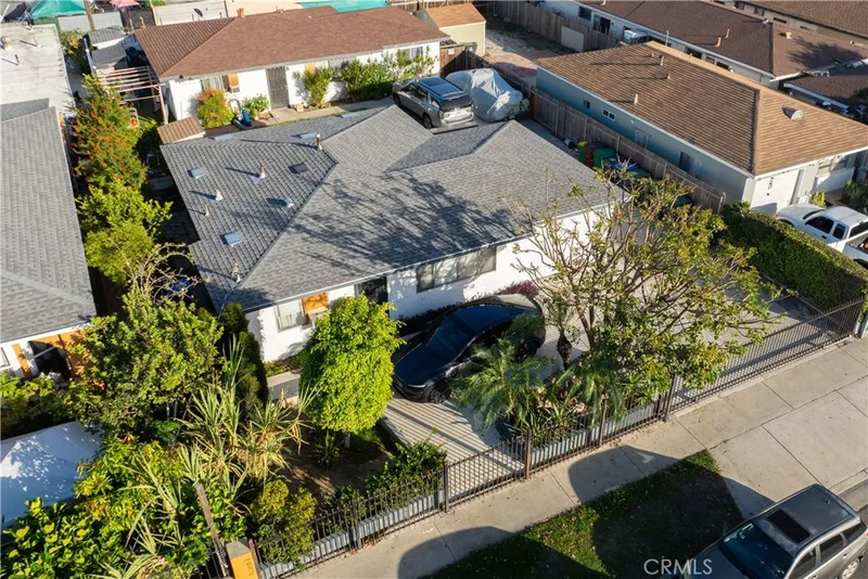
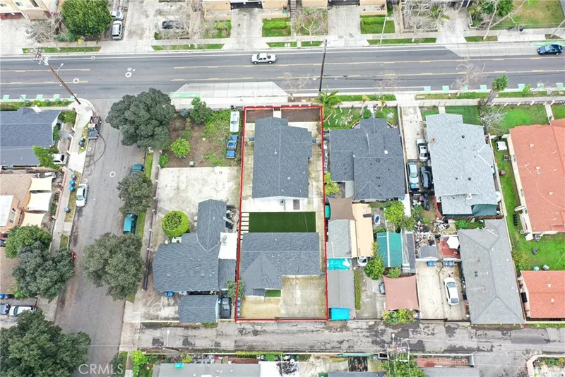
408 S Flower StreetSanta Ana, CA 92703Pico- Lowell
$1,000,000
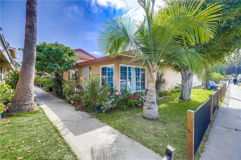
$990,000
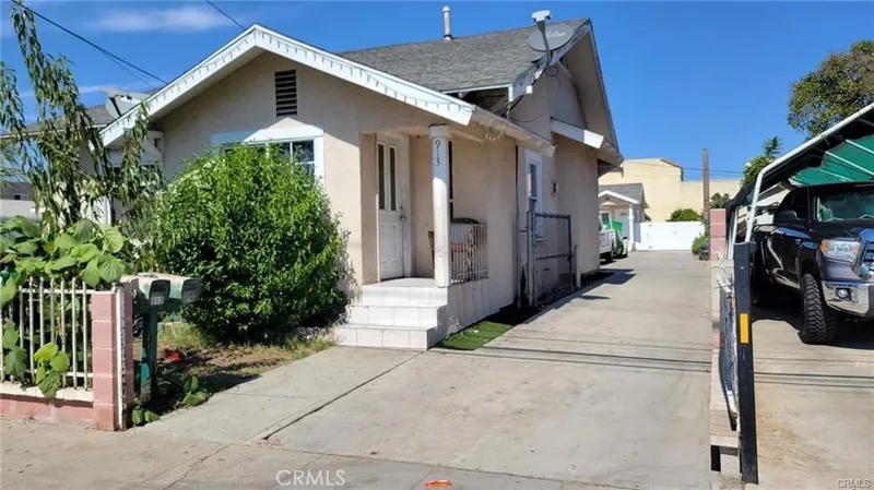
$1,025,000
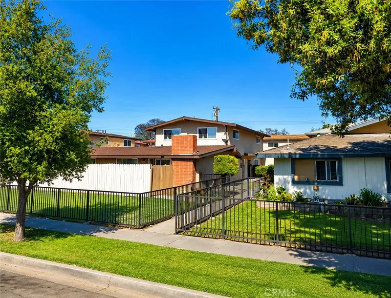
$1,049,000
$1,050,000
1613 CedarSanta Ana, CA 92707Evergreen
Nearby sales
Recently Sold Near 1517 W SANTA ANA BLVD
$630,000
1401 W 3rd StreetSanta Ana, CA 92703Sold Dec 11, 2025
$1,400,000
1917 W MyrtleSanta Ana, CA 92703Sold Jul 14, 2026
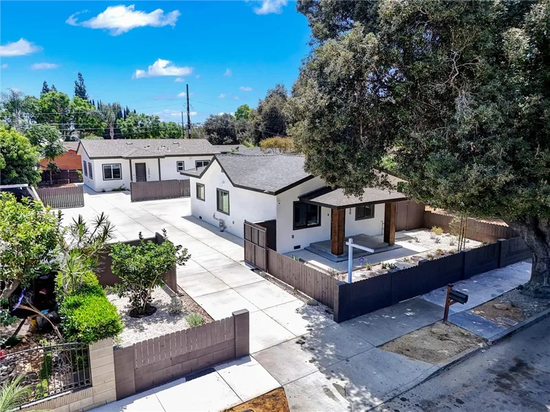
$1,294,000
1050 W Chestnut AvenueSanta Ana, CA 92703Sold Sep 10, 2026
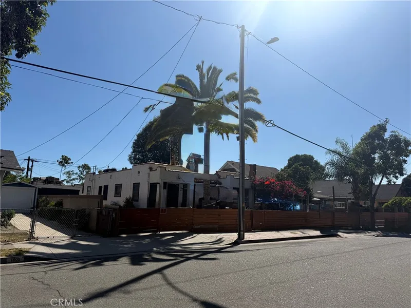
$630,000
1008 W 3rd StreetSanta Ana, CA 92703Sold Jan 14, 2026
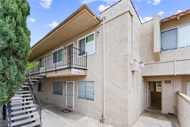
$3,825,000
935 W Bishop StreetSanta Ana, CA 92703Sold Mar 5, 2026
Just listed
Newest Santa Ana Homes for Sale
Explore
Explore Santa Ana Real Estate
See every home for sale in Santa Ana, or search the full Orange County MLS on our live homes search. Questions about 1517 W SANTA ANA BLVD? Talk to Realatrends.
- Santa Ana Homes for Sale
- Santa Ana 92701 Homes for Sale
- Santa Ana Housing Market
- Santa Ana Multi-Family Properties for Sale
- Orange County Real Estate
Explore Orange County
Browse Homes by City
Listing alerts
Be first to see new Orange County listings
What criteria are you looking for?
New Orange County homes by email, often before they reach the big portals.
You are all set.
Listed by Gregg Horvath of R.L.M. Equities
Listing information updated Jun 22, 2022 at 10:57 AM PT. Source: CRMLS.
 This information is for your personal, non-commercial use and may not be used for any purpose other than to identify prospective properties you may be interested in purchasing. The display of MLS data is usually deemed reliable but is NOT guaranteed accurate by the MLS. Buyers are responsible for verifying the accuracy of all information and should investigate the data themselves or retain appropriate professionals. Information from sources other than the Listing Agent may have been included in the MLS data. Unless otherwise specified in writing, the Broker/Agent has not and will not verify any information obtained from other sources. The Broker/Agent providing the information contained herein may or may not have been the Listing and/or Selling Agent.