19171 Magnoia Street 4, Huntington Beach, CA 92646
$690,000
The property
About 19171 Magnoia Street 4
Turnkey Liquor Store Opportunity – Prime Huntington Beach Location
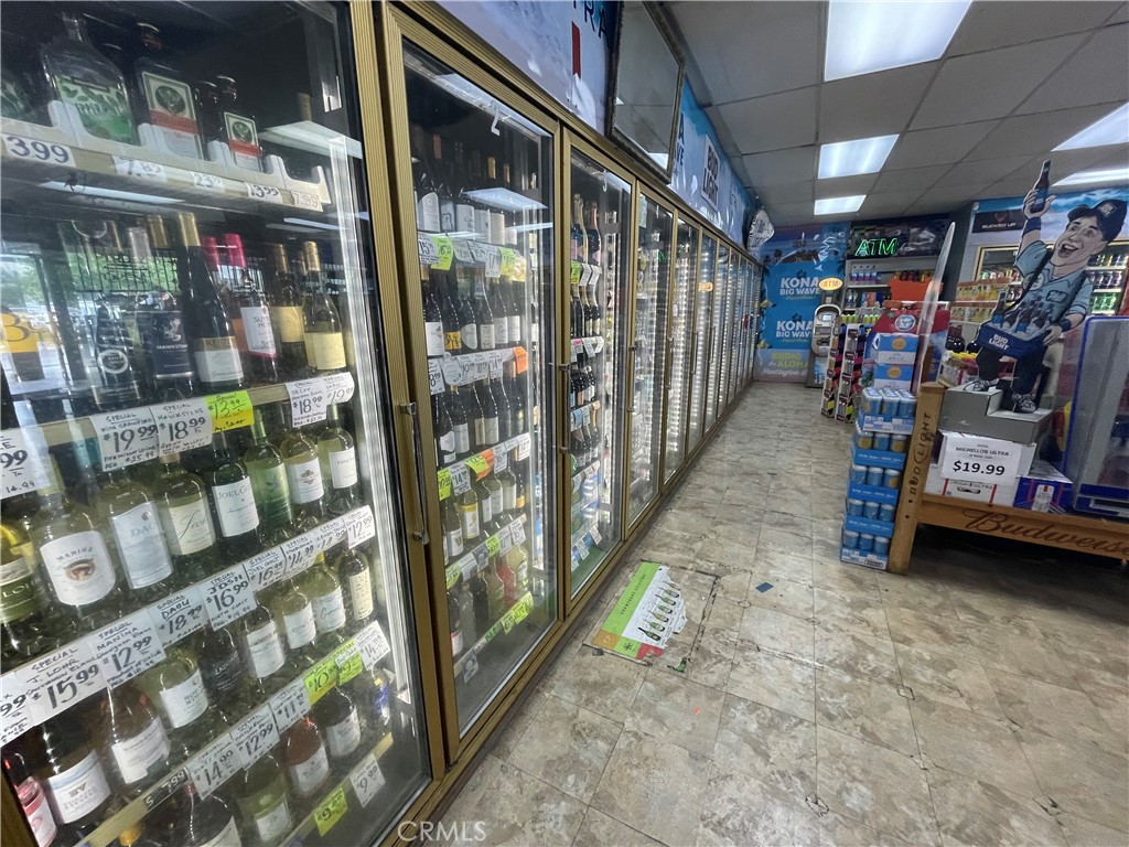
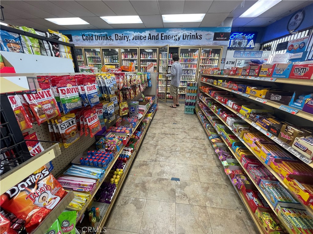
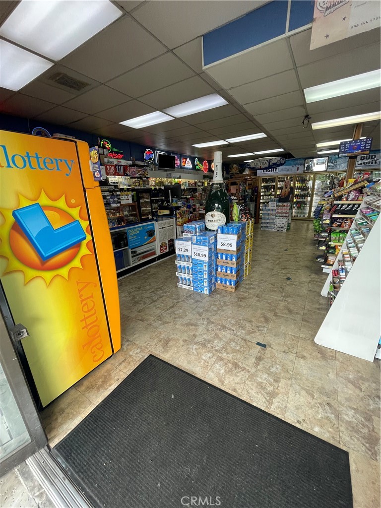
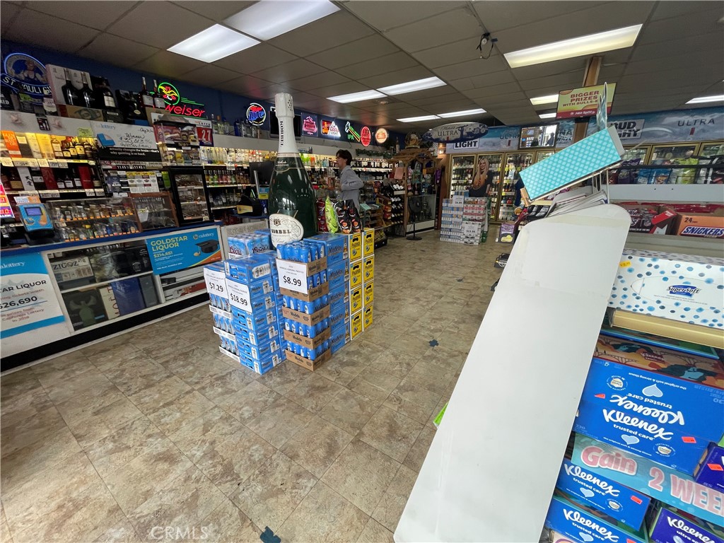
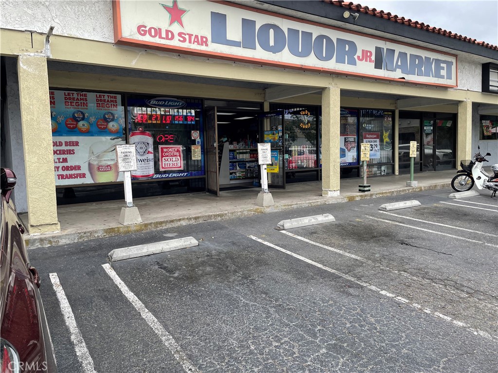
Exceptional opportunity to acquire a profitable, long-established liquor store operating since 2000, located in a high-traffic retail center in Huntington Beach. The store benefits from excellent visibility, steady foot traffic, and sits adjacent to a major national anchor tenant - Home Depot, driving consistent customer volume. Featuring approximately 2,400 SF of well-organized retail space, the store includes a 20-door cooler, fully stocked and ready for continued operation. This is a proven, income-producing investment in a strong retail corridor. EXCLUSIVELY LISTED - please contact listing agent for details.
Photographs
Photos of 19171 Magnoia Street 4, Huntington Beach
Specifications
Property Details
At a glance
- Price
- $690,000
- Days On Site
- 476 Days
- Building Size (SqFt)
- N/A
- Lot Size
- N/A
- Year Built
- N/A
- MLS® Number
- SB25172707
- Status
- Active Under Contract
Property Details
- Property Type
- Business
- MLS Number
- SB25172707
- Occupancy
- Owner
- Parcel Number
- 15352103
- On Market Date
- 2025-07-31
Business Details
- Business Type
- Liquor Store
- Year Established
- 2000
- Full-Time Employees
- 1
- Part-Time Employees
- 2
The record
Property History for 19171 Magnoia Street 4
| Date | Event | Price | Note |
|---|---|---|---|
| Aug 26, 2025 | Status changed to Active Under Contract | From Active | |
| Jul 31, 2025 | Listed for sale | $690,000 |
No prior MLS sales on record for this property since 2012.
Added by Realatrends Real Estate
Flood, Fire and Earthquake Zones for 19171 Magnoia Street 4
We looked up this property's map point in public government maps. These facts are not part of the MLS listing.
Hazard zones
- Flood zone
Zone X. Outside FEMA's Special Flood Hazard Area.
FEMA National Flood Hazard Layer, FIRM panel 06059C0261J effective December 3, 2009. Checked November 16, 2026.
- Fire hazard severity zone
Not in a fire hazard severity zone on the State Fire Marshal's map.
CAL FIRE, State Fire Marshal map for Local Responsibility Areas, March 24, 2025. Checked November 15, 2026.
- Earthquake fault zone
Outside the Alquist-Priolo Earthquake Fault Zones.
California Geological Survey, Earthquake Fault Zones map, Newport Beach quadrangle, released July 1, 1986. Checked November 15, 2026.
- Liquefaction zone
Inside a Seismic Hazard Zone for liquefaction.
California Geological Survey, Seismic Hazard Zones map, Newport Beach quadrangle, released April 15, 1998. Checked November 15, 2026.
- Landslide zone
Outside the earthquake-induced landslide zones.
California Geological Survey, Seismic Hazard Zones map, Newport Beach quadrangle, released April 15, 1998. Checked November 15, 2026.
- Tsunami hazard area
Outside the Tsunami Hazard Area on the State's evacuation planning map.
California Geological Survey and Cal OES, Tsunami Hazard Area map for Orange County (2021). Checked November 15, 2026.
Internet and charging
- Fixed internet
Fiber: Frontier, up to 7,000 Mbps, at 81 of 165 residential locations in this census block. Cable: Spectrum, up to 1,000 Mbps, at 163 of 165. Fixed wireless: GeoLinks, up to 1,000 Mbps, at 2 of 165.
FCC National Broadband Map, provider-reported data as of June 30, 2026, for census block 060590992462005, not for this address. Not endorsed by the FCC. Checked October 15, 2026.
- EV charging
Nearest public charger 1.0 miles away (Blink, 4 Level 2 ports). 222 public charging ports within 3 miles.
U.S. Department of Energy, Alternative Fuels Data Center. Straight-line distance. Checked November 15, 2026.
These facts are for the listing's map point, which can sit off the lot. A zone line can also cross a lot, and agencies revise their maps. In cities, the fire zone line follows the State Fire Marshal's 2025 map; each city adopts its own map and may add areas. These lines are not a Natural Hazard Disclosure. Check the official maps and the seller's disclosures before you rely on them. Sources for the earthquake zone lines: Reproduced with permission, California Geological Survey, Webservice of Official Maps of Alquist-Priolo Earthquake Fault Zones (2025). Reproduced with permission, California Geological Survey, Webservice of Official Maps of Seismic Hazard Zones (2025).
Official maps
The neighborhood
About Huntington Beach
Huntington Beach stretches along the Pacific coast in Orange County, anchored by its landmark pier, the Bolsa Chica Ecological Reserve, and Huntington Central Park, the largest city-owned park in the county. Nicknamed Surf City USA, the community spans beachfront blocks, the waterways of Huntington Harbour, and inland neighborhoods within the Huntington Beach Union High School District.
Location
Location
Nearby listings
Similar Properties for Sale in Huntington Beach
Active Under Contract
Explore
Explore Huntington Beach Real Estate
See Orange County commercial property for sale, or search the full Orange County MLS on our live homes search. Questions about 19171 Magnoia Street Unit 4? Talk to Realatrends.
- Huntington Beach Homes for Sale
- Huntington Beach 92646 Homes for Sale
- Huntington Harbour
- Orange County Real Estate
Explore Orange County
Browse Homes by City
Listed by Jerry Hsu of Shu-Hui Hsu
Listing information updated Aug 26, 2025 at 2:39 PM PT. Source: CRMLS.
 This information is for your personal, non-commercial use and may not be used for any purpose other than to identify prospective properties you may be interested in purchasing. The display of MLS data is usually deemed reliable but is NOT guaranteed accurate by the MLS. Buyers are responsible for verifying the accuracy of all information and should investigate the data themselves or retain appropriate professionals. Information from sources other than the Listing Agent may have been included in the MLS data. Unless otherwise specified in writing, the Broker/Agent has not and will not verify any information obtained from other sources. The Broker/Agent providing the information contained herein may or may not have been the Listing and/or Selling Agent.