Sold
0 De La Paz sold on April 30, 2021 for $1,050,000. The details are below for reference.
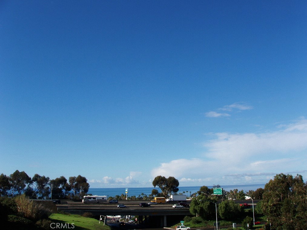
0 De La Paz, San Clemente, CA 92672
Own 0 De La Paz? Request a free home valuation to see what it is worth today.
$1,050,000
The home
About 0 De La Paz
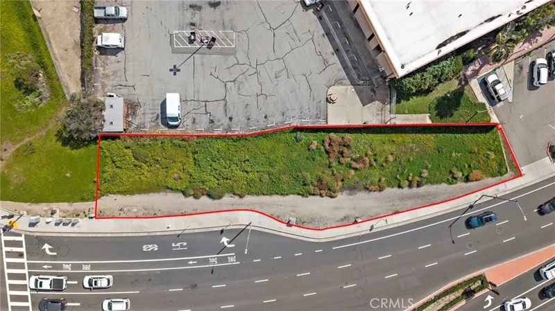
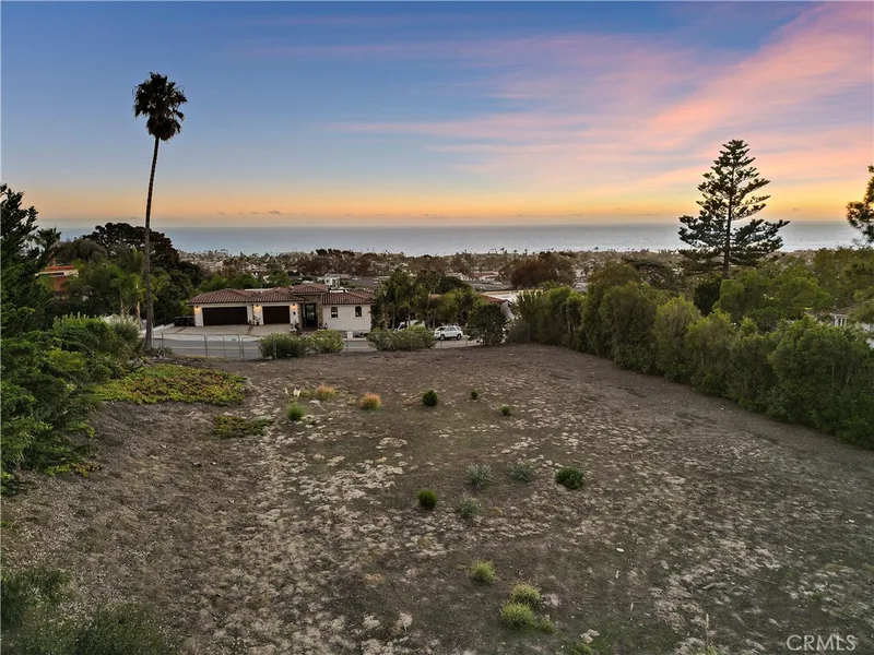
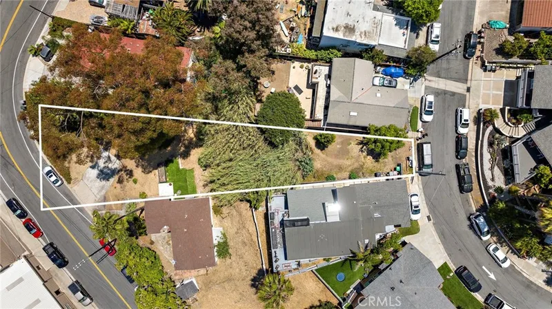
GREAT INVESTMENT/BUILDING OPPORTUNITY!! This sale includes 6 parcels and the property has the potential for 4 ocean view lots approx 10,000 sqft each. Seller has some reports and surveys. Zoning is RL-2 and allows for each home to have a casitas with a garage.
Seller has the following documents:
- 2017 Topographic and Boundary Survey
- 2018 Preliminary soils report
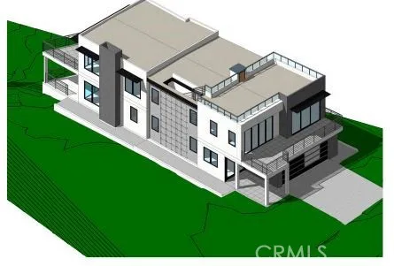
- Preliminary floor plans and elevation designs
- Site Study
Parcel #'s: 05709111, 05709114, 05709115, 05709120, 05709122, 05709123
Exit Avenida Palizada, turn left under the freeway. The property will be straight ahead.
NW corner of Ave Caballeros & Ave De La Paz
Property details for 0 De La Paz
This home sits in San Clemente in Orange County. The MLS record lists the assessor parcel number as 057-091-11. Highlights include ocean views.
Specifications
Home Details
General Features
- MLS Number
- OC20129057
- Lot Size (sq ft)
- 40,000
- Lot Size (acres)
- 0.9183
- View
- Ocean, Water
- Parcel Number
- 05709111
- On Market Date
- 2020-07-02
- Zoning
- RL-2
- Listing Terms
- Standard
Exterior Features
- Lot Features
- Corner Lot
- Water
- Public
Community Features
- Community Features
- Curbs, Sidewalks
The record
Property History for 0 De La Paz
| Date | Event | Price | Note |
|---|---|---|---|
| Apr 30, 2021 | Sold | $1,050,000 | |
| Mar 12, 2021 | Status changed to Active Under Contract | From Active | |
| Jul 2, 2020 | Listed for sale | $1,350,000 |
No prior MLS sales on record for this home since 2012.
Added by Realatrends Real Estate
Flood, Fire and Earthquake Zones for 0 De La Paz
We looked up this home's map point in public government maps. These facts are not part of the MLS listing.
Hazard zones
- Flood zone
Zone X, area of minimal flood hazard. Outside FEMA's Special Flood Hazard Area.
FEMA National Flood Hazard Layer, FIRM panel 06059C0536K effective March 21, 2019. Checked October 15, 2026.
- Fire hazard severity zone
Not in a fire hazard severity zone on the State Fire Marshal's map.
CAL FIRE, State Fire Marshal map for Local Responsibility Areas, March 24, 2025. Checked October 15, 2026.
- Earthquake fault zone
Outside the Alquist-Priolo Earthquake Fault Zones.
California Geological Survey, Earthquake Fault Zones. Checked October 15, 2026.
- Liquefaction zone
Outside the liquefaction zones.
California Geological Survey, Seismic Hazard Zones map, San Clemente quadrangle, released June 21, 2002. Checked October 15, 2026.
- Landslide zone
Outside the earthquake-induced landslide zones.
California Geological Survey, Seismic Hazard Zones map, San Clemente quadrangle, released June 21, 2002. Checked October 15, 2026.
- Tsunami hazard area
Outside the Tsunami Hazard Area on the State's evacuation planning map.
California Geological Survey and Cal OES, Tsunami Hazard Area map for Orange County (2021). Checked October 15, 2026.
Internet and charging
- Fixed internet
Cable: Cox Communications, up to 2,000 Mbps, at 14 of 15 residential locations in this census block. DSL: AT&T, up to 10 Mbps, at 13 of 15. Fixed wireless: Verizon, up to 300 Mbps, at 14 of 15.
FCC National Broadband Map, provider-reported data as of December 31, 2025, for census block 060590421134005, not for this address. Not endorsed by the FCC. Checked October 15, 2026.
- EV charging
Nearest public charger 0.1 miles away (Shell Recharge, 14 DC fast ports). 118 public charging ports within 3 miles.
U.S. Department of Energy, Alternative Fuels Data Center. Straight-line distance. Checked October 15, 2026.
These facts are for the listing's map point, which can sit off the lot. A zone line can also cross a lot, and agencies revise their maps. In cities, the fire zone line follows the State Fire Marshal's 2025 map; each city adopts its own map and may add areas. These lines are not a Natural Hazard Disclosure. Check the official maps and the seller's disclosures before you rely on them. Sources for the earthquake zone lines: Reproduced with permission, California Geological Survey, Webservice of Official Maps of Alquist-Priolo Earthquake Fault Zones (2025). Reproduced with permission, California Geological Survey, Webservice of Official Maps of Seismic Hazard Zones (2025).
Official maps
Next steps
Looking for something similar
0 De La Paz is no longer on the market, but comparable homes come up in San Clemente regularly. We can tell you what this one actually closed at and set up alerts for listings that match it.
Selling near 0 De La Paz
Thinking of selling nearby? We bring current San Clemente sales data and a clear pricing strategy to every listing, backed by more than 700 closed sales and over $1B in Orange County volume. Start with a free home valuation, or reach out to talk through your options.
The neighborhood
About San Clemente
San Clemente is the southernmost city in Orange County, founded in the 1920s by Ole Hanson as a Spanish Village by the Sea of white-stucco, red-tile-roofed homes overlooking the Pacific. Landmarks include the 1928 pier, the Beach Trail from North Beach to Calafia Beach, Avenida Del Mar, and the Capistrano Unified School District.
Nearby listings
Similar Homes for Sale in San Clemente
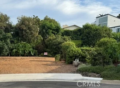
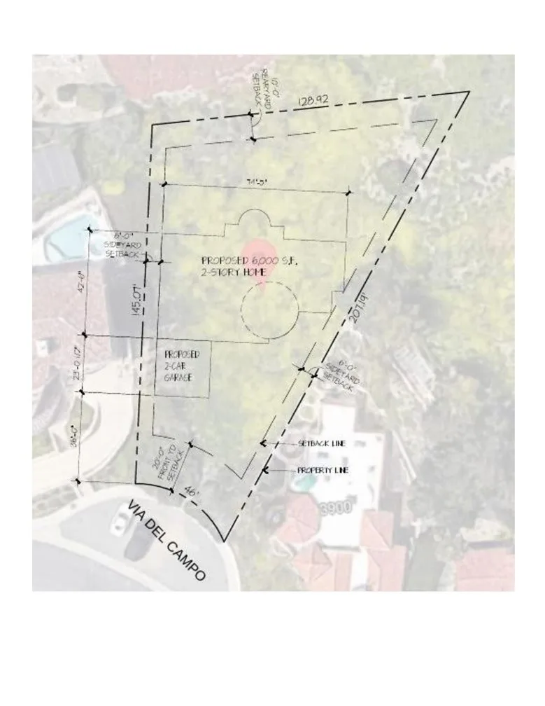
$1,200,000
3902 Via Del CampoSan Clemente, CA 92673Harbor Estates
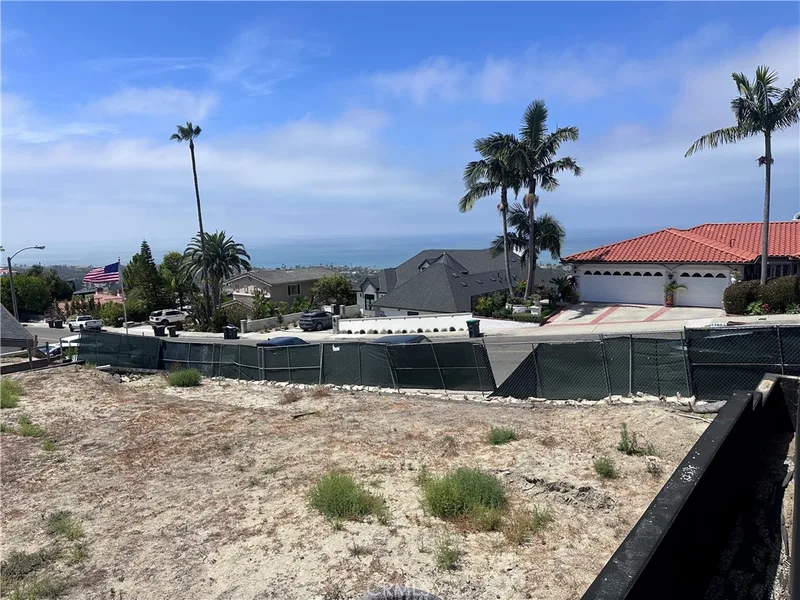
$1,990,000
1701 Avenida SalvadorSan Clemente, CA 92672Trestles/Lost Winds
$670,000
524 E Avenida PicoSan Clemente, CA 92672Main Pico Corridor
$65,000
0 El LevanteSan Clemente, CA 92672Cotton Hills
$54,500
0 El LevanteSan Clemente, CA 92672Cotton Hills
$3,299,000
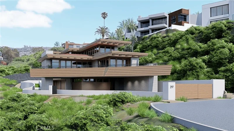
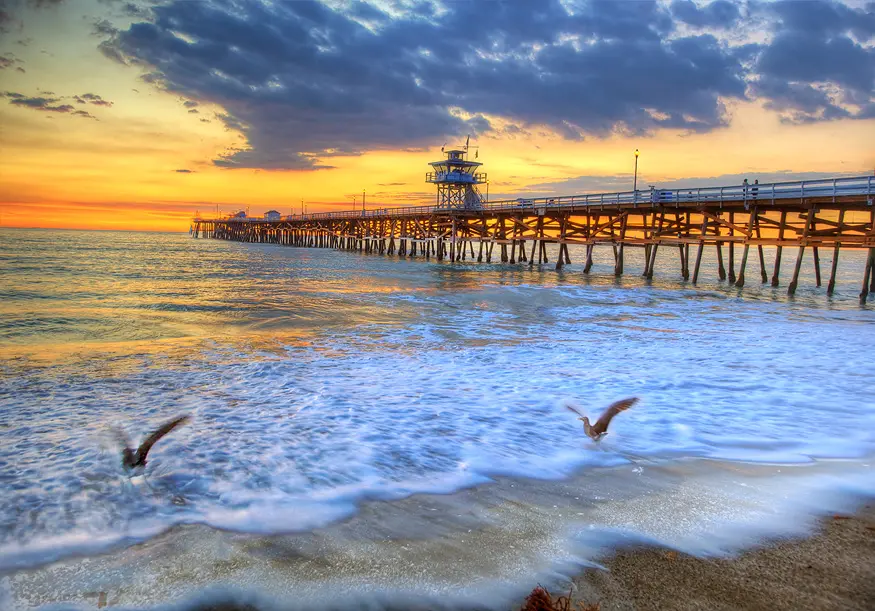 San ClementeSee every home for sale in San Clemente
Nearby sales
Recently Sold Near 0 De La Paz
$2,500,000
239 Avenida La CuestaSan Clemente, CA 92672Sold Dec 5, 2025
$899,000
256 W Avenida PalizadaSan Clemente, CA 92672Sold May 21, 2026
$740,000
110 Calle RedondelSan Clemente, CA 92672Sold Apr 27, 2026
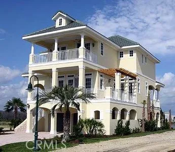
$1,100,000
145 Calle RedondelSan Clemente, CA 92672Sold Apr 14, 2026
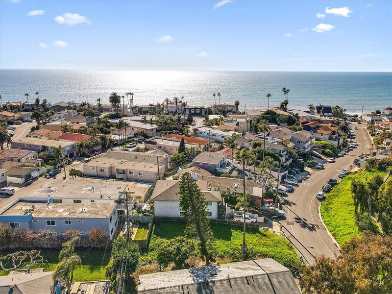
$950,000
227 W El PortalSan Clemente, CA 92672Sold Jul 21, 2026
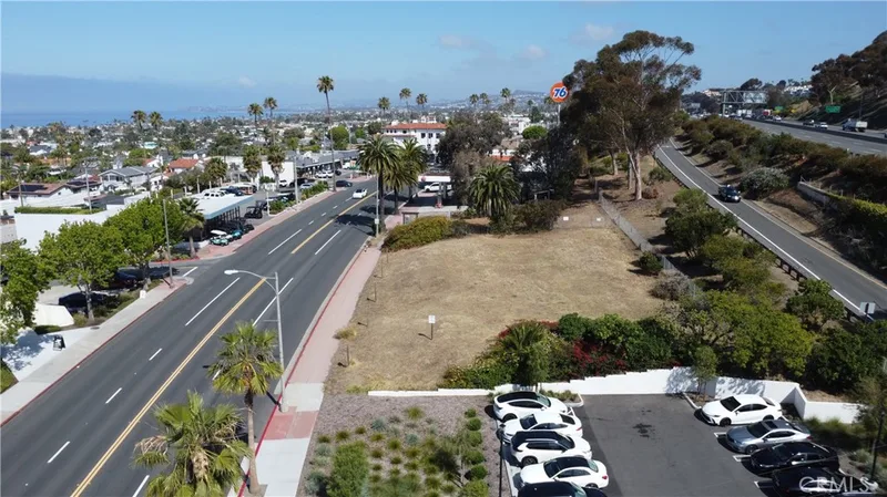
$1,400,000
1315 S El Camino RealSan Clemente, CA 92672Sold Aug 18, 2026
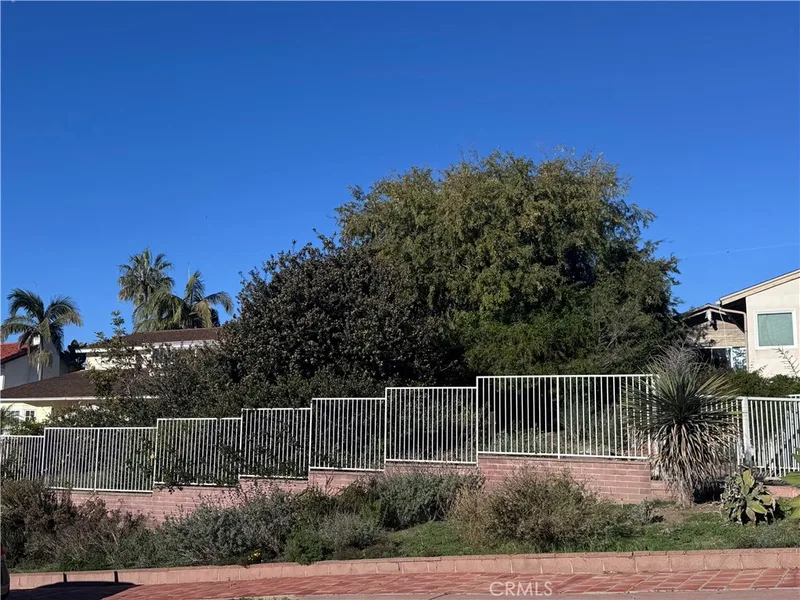
$1,725,000
204 W Avenida GaviotaSan Clemente, CA 92672Sold Feb 27, 2026
San ClementeSee every recent sale in San ClementeJust listed
Newest San Clemente Homes for Sale
Explore
Explore San Clemente Real Estate
See every home for sale in San Clemente, or search the full Orange County MLS on our live homes search. Questions about 0 De La Paz? Talk to Realatrends.
- San Clemente Homes for Sale
- San Clemente 92672 Homes for Sale
- San Clemente Land for Sale
- San Clemente Ocean View Homes for Sale
- San Clemente vs Dana Point
- San Clemente vs Laguna Beach
- San Clemente Open Houses
- San Clemente Beaches
- San Clemente Schools
- San Clemente Selling a Home in San Clemente
- San Clemente Buying a Home in San Clemente
- Orange County Real Estate
Explore Orange County
Browse Homes by City
Listing alerts
Be first to see new San Clemente listings
What criteria are you looking for?
New San Clemente homes by email, often before they reach the big portals.
You are all set.
Listed by Kimberly Powell of Sun-West Properties
Listing information updated May 3, 2021 at 1:29 PM PT. Source: CRMLS.
 This information is for your personal, non-commercial use and may not be used for any purpose other than to identify prospective properties you may be interested in purchasing. The display of MLS data is usually deemed reliable but is NOT guaranteed accurate by the MLS. Buyers are responsible for verifying the accuracy of all information and should investigate the data themselves or retain appropriate professionals. Information from sources other than the Listing Agent may have been included in the MLS data. Unless otherwise specified in writing, the Broker/Agent has not and will not verify any information obtained from other sources. The Broker/Agent providing the information contained herein may or may not have been the Listing and/or Selling Agent.